What is recorded here
Marked as a small copse on the 1840 and 1927 eds. Of the OS 6-inch map, and situated on a gentle S-facing slope. Circular area (diam. 34.8m NE-SW; 33.3m N-S) defined by a slight earthen bank (Wth 3-3.5m; int. H 0.2-0.5m; ext. H 0.4m-0.7m) and a slight external ditch (Wth of top 3-3.5m; ext. D 0.1-0.3m). It has no visible entrance, but a smaller enclosure (diam. 14.2m NW-SE) is attached to the SW. This is defined by a similar bank and outer ditch, with the bank between the two enclosures removed. All the trees except one have been removed.
Compiled by: Michael Moore
Date of upload: 20 July 2010
The monument record does not grant public access. Check the route and ask the landowner before entering private land.
- What survives
- Recorded monument
Places near here
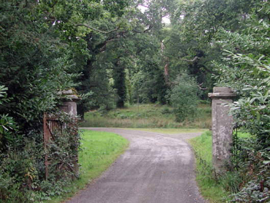 Curraghmoregates/railings/walls · 571 yd
 Enclosure in CurraghmoreEnclosure · 668 yd
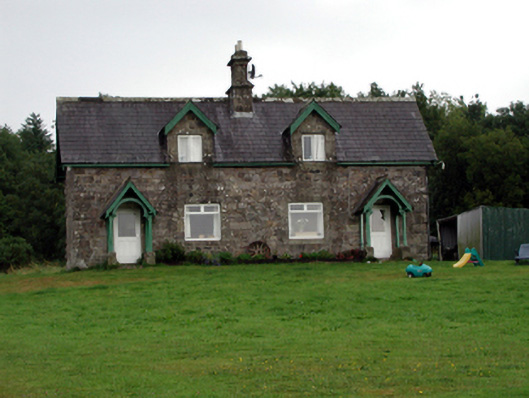 worker's houseworker's house · 1172 yd
 Curraghmore HouseCastle · 1248 yd
 Sitka SpruceSitka Spruce · 1544 yd
 Scots PineScots Pine · 1570 yd
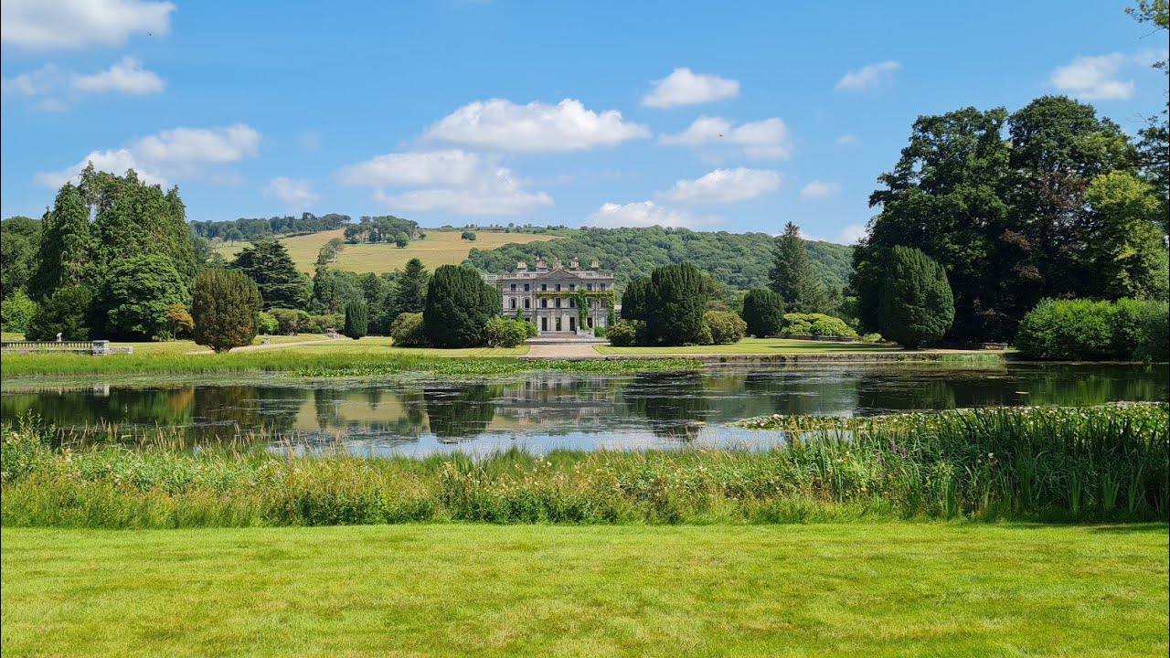 Embanked enclosureFairy fort / earthen ringfort · 1732 yd
 Tower HillMountain / peak · 1.6 mi
 Portlaw Heritage CentreMuseum · 2.3 mi
 Donnell's HillMountain / peak · 2.6 mi
 Rockets Castle (in ruins)Castle, tower house · 3.0 mi
 Ormonde CastleHeritage attraction · 3.6 mi