What is recorded here
Lies c. 160m to the NE of another ringbarrow (KD023-043----). A slightly raised, central, circular area (diam. 23m) is enclosed by a fosse and an outer bank (overall diam. 42m). The N-limits are disturbed by a narrow plantation of trees flanking a road. (O'Riordáin 1950, 276: Site W; scaled section E-W Plate XXVII)
Compiled by: Gearóid Conroy
Date of upload: 10 June 2011
A Neolithic ringbarrow, dating to the Early to Middle Neolithic period (c. 3700–3000 BCE), characterised by a central raised area surrounded by a fosse and outer bank. Its location near another ringbarrow suggests it may be part of a broader ceremonial or funerary landscape in the Curragh region.
The monument record does not grant public access. Check the route and ask the landowner before entering private land.
- What survives
- Recorded monument
Places near here
 Gibbet RathFairy fort / earthen ringfort · 390 yd
 Enclosure in Curragh (kildare Ed)Enclosure · 406 yd
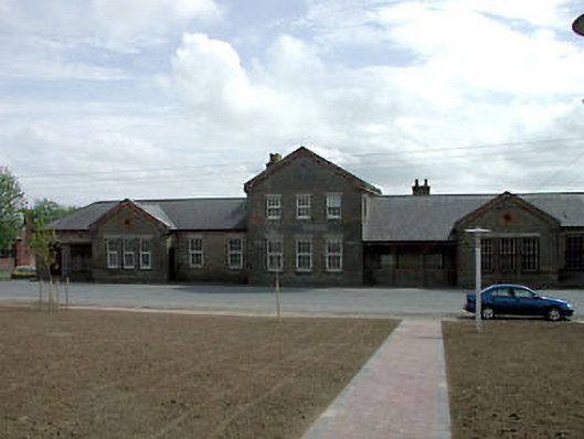 library/archivelibrary/archive · 1455 yd
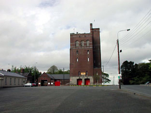 Curragh Camp Fire Stationfire station · 1.1 mi
 Saint Fiachra's GardenHeritage attraction · 2.0 mi
 Tully Ho.Castle, unclassified · 2.0 mi
 Bee-bee treeBee-bee tree · 2.0 mi
 Dawn RedwoodDawn Redwood · 2.0 mi
 Irish National Stud and Japanese GardensHeritage attraction · 2.0 mi
 TumulusCastle, motte and bailey · 2.0 mi
 Bithia Mary CrokerMemorial · 7.6 mi
 Grand Canal WayVisitor information · 8.2 mi