What is recorded here
On a slight rise on a gentle SE-facing slope in dense mixed woodland. Hachured as a fort on the 1840 OS 6-inch map and indicated on the 1920 edition. A circular area (int. diam. 33m N-S; 33m E-W) defined by a stone spread (Wth 4-6.4m; int. H 0.4-0.8m; ext. H 0.45-0.6m generally to 1m at W) with the remains of a field wall on the top of it. A relict field wall extends S across the interior from the perimeter at N (L 8m) and a relict wall encloses an arc (int. dims. 11m NE-SW; 5m NW-SE) against the perimeter in the SE quadrant.
Compiled by: Michael Moore and Mary Tunney
Date of upload: 17 November 2025
The monument record does not grant public access. Check the route and ask the landowner before entering private land.
- What survives
- Recorded monument
Places near here
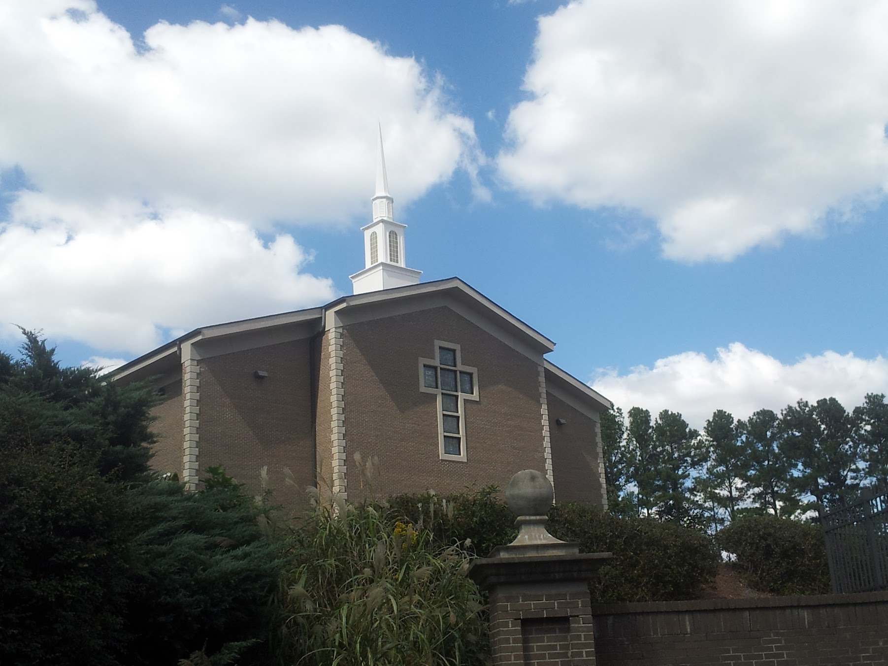 Church in KillianChurch · 1087 yd
 Enclosure in BearnafunshinEnclosure · 1614 yd
 Enclosure in BallyoganEnclosure · 1681 yd
 CastleCastle, ringwork · 1.1 mi
 Abbey (in ruins)Religious house, Augustinian canons · 1.2 mi
 Dromore WoodWood · 1.4 mi
 Dromore CastleCastle · 1.4 mi
 Mulkere MemorialMemorial · 2.3 mi
 Ardcarney WoodWood · 2.7 mi
 Battle of TullyodeaBattlefield · 3.5 mi
 Ennis AbbeyMuseum · 5.1 mi
 Clare MuseumMuseum · 5.2 mi