What is recorded here
Sub-circular shaped graveyard (int. dims. 52m N-S; 38m E-W) enclosed by a post-medieval stone wall as indicated on current ed. OS 6-inch map. Numerous uninscribed gravemarkers visible. All visible inscribed headstones post-date 1700. Cross-inscribed stone (LA014-035004-) in S sector of graveyard. Ruins of post-medieval church (LA014-035001-) with 18th century burial vault built onto E end of church in N sector of graveyard. O'Hanlon and O'Leary (1907, 223) recorded that the ‘grave-yard is exceedingly old, and it has been much used for interments. The graves are chiefly on the south side, where the entrance from the road opens. Numbers of old head-stones are to be seen. Ash trees grow around the graveyard’.
The above description is derived from the published 'Archaeological Inventory of County Laois' (Dublin Stationery Office, 1995) compiled by P. David Sweetman, Olive Alcock and Bernie Moran. In certain instances the entries have been revised and updated in the light of recent research.
Revised by: Caimin O'Brien
Date of revised upload: 11 March 2015
The monument record does not grant public access. Check the route and ask the landowner before entering private land.
- What survives
- Recorded monument
Places near here
 Site of ChurchChurch · 13 yd
 Dotted outline, GlebeEcclesiastical enclosure · 31 yd
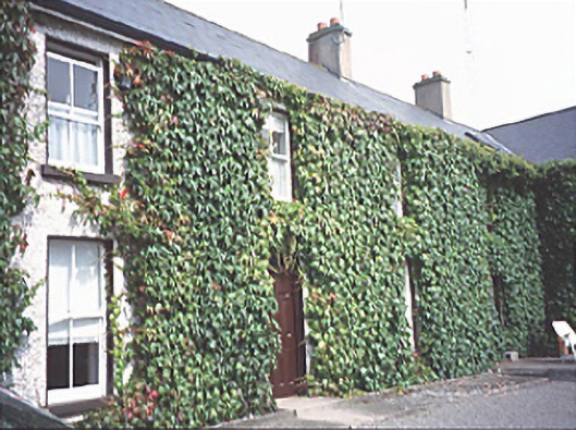 Inch Househouse · 437 yd
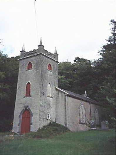 Saint Peter's Church (Curraclone)church/chapel · 953 yd
 Site of Ballymanus CastleCastle, unclassified · 1581 yd
 Black WalnutBlack Walnut · 1.1 mi
 Blackford Castle (in Ruins)Castle, tower house · 1.4 mi
 Ballyduff WoodWood · 1.8 mi
 Beech Way WalkWalking route · 2.1 mi
 CEMETERYGraveyard · 2.1 mi
 Mass RockNamed rock · 2.2 mi
 Oughaval Wood MapVisitor information · 2.2 mi