What is recorded here
Indicated is a fairy fort in County Kerry, Ireland. It holds a narrow oval of excluded land on a southern slope above the Owenshagh River. Gorse still fills its centre, while a sharp scarp, shallow fosse and pale outer bank draw the eye around an empty chamber. People may have lived there before becoming a warning, but the shape still keeps its own boundary.
In rough pasture, on the edge of a terrace on a S-facing slope, overlooking the valley of the Owenshagh River. A raised roughly oval area (28.6m E-W; 18.7m N-S) defined by a scarp (Wth 2.25m; H 1.25m), with a shallow fosse (Wth 1.5m; D 0.15m) SW-N and an outer bank (Wth 0.9m; H 0.25m) SW-N. There is a wet drain-like depression (Wth 1.7m; D 0.15m) along the base of the scarp N-E. The interior is obscured by a dense cover of gorse. A recent field boundary (on a N-S axis) tangentially abuts the base of the scarp at E.
The above description is derived from the published 'Archaeological Inventory of County Kerry. Volume I: South-West Kerry' (Dublin: Stationery Office, 2009). In certain instances the entries have been revised and updated in the light of recent research.
Date of upload: 30 May 2011
The monument record does not grant public access. Check the route and ask the landowner before entering private land.
- What survives
- Recorded monument
Places near here
 Radial-stone enclosure in Cummers WestRadial-stone enclosure · 592 yd
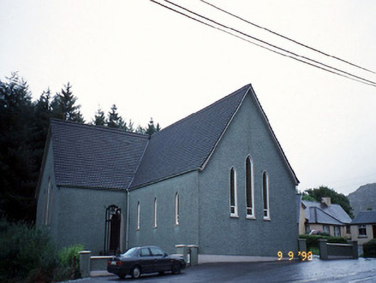 Saint Killian's Catholic Churchchurch/chapel · 968 yd
 RoadRoad, unclassified togher · 1070 yd
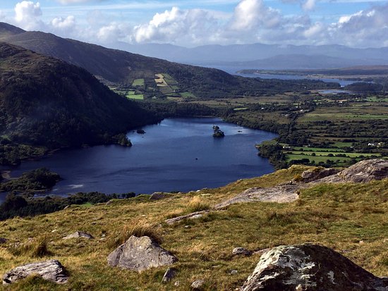 Man-made underground passage in Lauragh LowerMan-made underground passage · 1197 yd
 DrombohillyMountain / peak · 1507 yd
 New Zealand broadleafNew Zealand broadleaf · 1.0 mi
 Soft Tree-fernSoft Tree-fern · 1.1 mi
 KnockateeMountain / peak · 1.2 mi
 Duck RockIslet · 2.3 mi
 Crane IslandIslet · 2.3 mi
 DroppaCliff · 2.8 mi
 Gleninchaquin WaterfallWaterfall · 4.7 mi