
What is recorded here
In rough marshy pasture, with occasional outcropping rock. According to local information, an old path, which is still known as a 'togher', crossed the marsh in an E-W direction. There are now no visible remains of this togher.
The above description is derived from the published 'Archaeological Inventory of County Kerry. Volume I: South-West Kerry' (Dublin: Stationery Office, 2009). In certain instances the entries have been revised and updated in the light of recent research.
Date of upload: 30 May 2011
The monument record does not grant public access. Check the route and ask the landowner before entering private land.
- What survives
- Recorded monument
Places near here
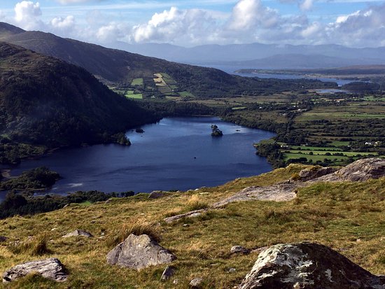 Man-made underground passage in Lauragh LowerMan-made underground passage · 1017 yd
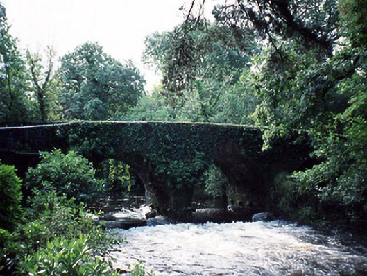 Lauragh Bridgebridge · 1141 yd
 Bridge in Derreen (glanarought By.)Bridge · 1205 yd
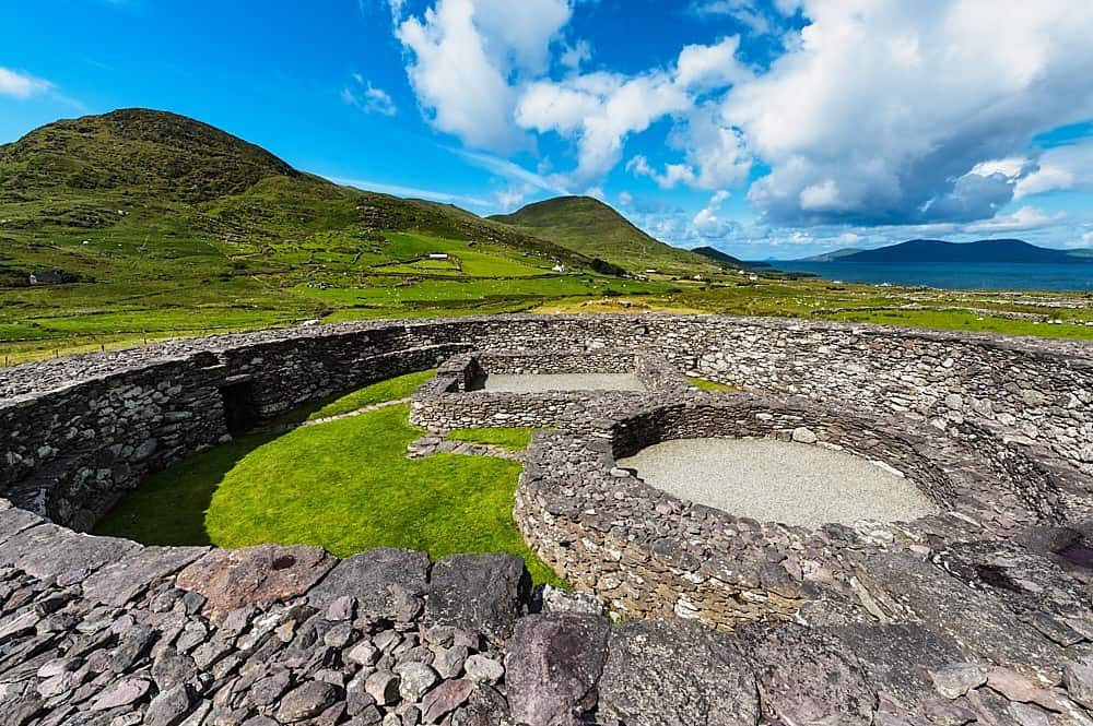 Fairy fort / earthen ringfort in Lauragh LowerFairy fort / earthen ringfort · 1418 yd
 KnockastumpaMountain / peak · 1519 yd
 New Zealand broadleafNew Zealand broadleaf · 1.1 mi
 Japanese cedarJapanese cedar · 1.2 mi
 DrombohillyMountain / peak · 1.5 mi
 Duck RockIslet · 1.7 mi
 Crane IslandIslet · 1.8 mi
 DroppaCliff · 2.8 mi
 Mare's Tail WaterfallViewpoint · 4.9 mi
Other information
Photo: Credit not shown in the picture search · Rights wording not checked; contact us if this picture should be removed