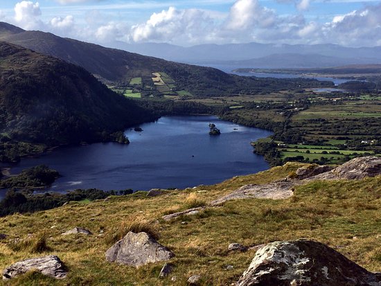
What is recorded here
In a rath (KE108-018----). In the SE quadrant of the rath are two depressions, c. 9m apart, each with an opening at its centre. These depressions indicate a general NNW-SSE orientation for the Man-made underground passage beneath. Through the opening in the larger depression (1.9m N-S; 1.4m E-W) at NNW, the Man-made underground passage chamber (H 1.6m), possibly earth-cut and with a curving roof, is visible.
The above description is derived from the published 'Archaeological Inventory of County Kerry. Volume I: South-West Kerry' (Dublin: Stationery Office, 2009). In certain instances the entries have been revised and updated in the light of recent research.
Date of upload: 30 May 2011
The monument record does not grant public access. Check the route and ask the landowner before entering private land.
- What survives
- Recorded monument
Places near here
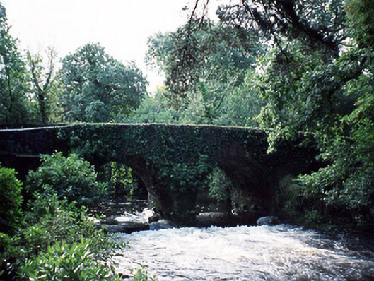 Lauragh Bridgebridge · 214 yd
 Bridge in Derreen (glanarought By.)Bridge · 256 yd
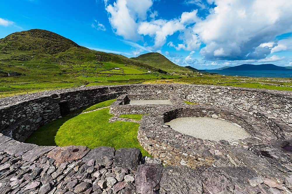 Fairy fort / earthen ringfort in Lauragh LowerFairy fort / earthen ringfort · 555 yd
 Man-made underground passage in Lauragh UpperMan-made underground passage · 877 yd
 New Zealand broadleafNew Zealand broadleaf · 966 yd
 Japanese cedarJapanese cedar · 1017 yd
 KnockastumpaMountain / peak · 1.3 mi
 KnockateeMountain / peak · 1.3 mi
 Crane IslandIslet · 1.8 mi
 Duck RockIslet · 1.8 mi
 DroppaCliff · 3.3 mi
 Gleninchaquin WaterfallWaterfall · 5.3 mi
Other information
Photo: Credit not shown in the picture search · Rights wording not checked; contact us if this picture should be removed