
What is recorded here
In rough pasture, on the SE-facing slopes of Knockbeg. A circular area (17.35m N-S; 16.5m E-W) defined by twelve radially set stones (max. dims.: L 1m; T 0.5m; H 0.75m), which protrude above a low bank (H 0.2m) and are best preserved along the N arc. A scatter of loose stones occurs in the NE quadrant of the interior. Within the interior, off-centre to the NW, are the remains of an enclosure (KE109-004001-) which protrude intermittently above the surface of the bog. A cairn (KE109-004002-) lies c. 4m to the N and a network of field boundaries (KE109-004003-) is further to the N.
The above description is derived from the published 'Archaeological Inventory of County Kerry. Volume I: South-West Kerry' (Dublin: Stationery Office, 2009). In certain instances the entries have been revised and updated in the light of recent research.
Date of upload: 30 May 2011
The monument record does not grant public access. Check the route and ask the landowner before entering private land.
- What survives
- Recorded monument
Places near here
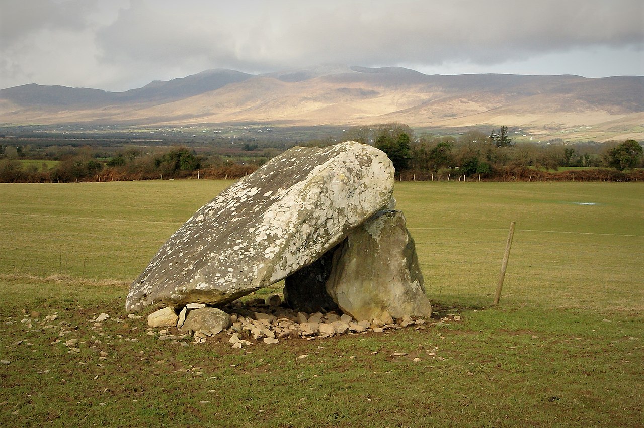 Megalithic structure in Lehid (glanarought By.)Megalithic structure · 1015 yd
 DrombohillyMountain / peak · 1063 yd
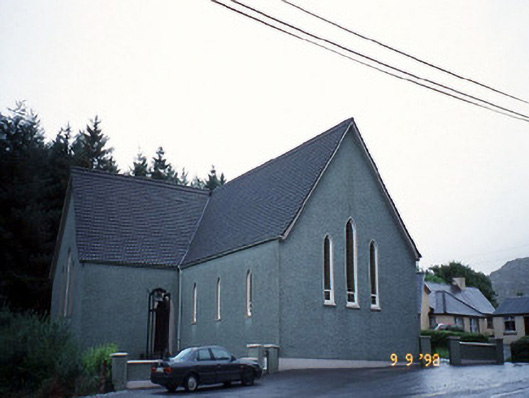 Saint Killian's Catholic Churchchurch/chapel · 1074 yd
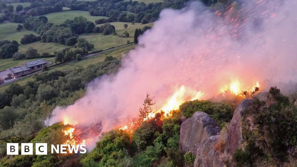 Burnt spread in Lehid (glanarought By.)Burnt spread · 1158 yd
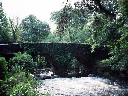 Lauragh Bridgebridge · 1326 yd
 KnockateeMountain / peak · 1590 yd
 New Zealand broadleafNew Zealand broadleaf · 1.0 mi
 Habitat of DerreeniesNature reserve · 1.0 mi
 Duck RockIslet · 2.6 mi
 Crane IslandIslet · 2.6 mi
 DroppaCliff · 2.9 mi
 Gleninchaquin WaterfallWaterfall · 4.6 mi
Other information
Photo: Credit not shown in the picture search · Rights wording not checked; contact us if this picture should be removed