What is recorded here
Marked as a small enclosure (diam. c. 20m) on the 1837 and 1915 eds. of the OS 6-inch map, and situated on a low-lying, level landscape. Described as an overgrown area with a stone-faced bank (Gannon 1972), it is not visible at ground level in reclaimed pasture.
Compiled by: Michael Moore
Date of upload: 24 August 2010
The monument record does not grant public access. Check the route and ask the landowner before entering private land.
- What survives
- Recorded monument
Places near here
 IndicatedFairy fort / earthen ringfort · 718 yd
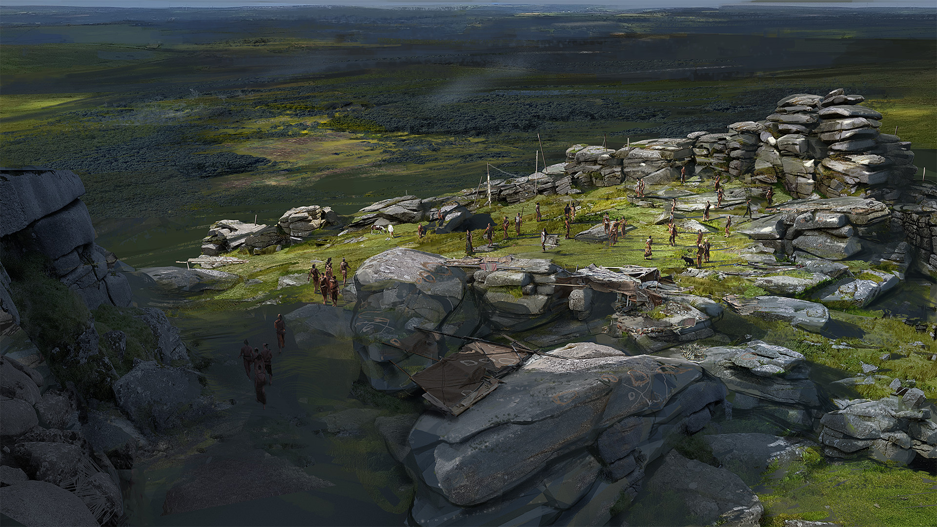 Hilltop enclosure in KilleenadeemaHilltop enclosure · 1251 yd
 Loobinroe Windmillmill (wind) · 1.1 mi
 CastleCastle, unclassified · 1.7 mi
 Church in SkrineChurch · 2.2 mi
 European Crab AppleEuropean Crab Apple · 2.2 mi
 Inchnaveague IslandIslet · 2.9 mi
 Castle (Site of)Castle, unclassified · 3.3 mi
 InchnagowerIslet · 3.5 mi
 TogherfinnForest · 3.6 mi
 Hangman's HillMountain / peak · 5.1 mi
 Mount MaryMountain / peak · 8.1 mi