What is recorded here
On a NNE-facing slope in undulating terrain, in upland region, under pasture. It is on the lower slope of a hill which rises to the SW. There are extensive views to the N and good to the E but the view is impeded by the rise in slope to the S and W. This monument consists of roughly circular area (int. diam. 20m N-S; 19.2m E-W; ext. diam. 30.6m N-S; 29.3m E-W) enclosed by a bank composed of small stones. The bank (int. H 0.1m; ext. H 1.7m; Wth of kerbed bank 4-4.6m; overall Wth including slip 5.1m) is retained by kerbing stones internally (average dims. H 0.4m; 0.3-04m x 0.4-0.5m), these being best preserved in the NE quadrant. There is also a suggestion of external kerbing, with several possible kerbstones protruding from the bank slip from N-S. In the ESE there is a large external kerbstone (H 0.66m; Wth 0.8m; T 0.2m) with another large more rounded boulder immediately to the N, though on a slightly different line suggesting it may have slipped forward. Though built on a hillslope the interior is relatively level, though slightly hummocky. The bank (int. H 1.47m; ext. H 0.2m; overall Wth 5m)from S-N is grass covered and falls sharply to the interior, particularly where the slope is highest. There has been a lot of field clearance stones dumped on the bank, particularly along the inner face of the bank from S-WNW, with some spillage into the interior. There is a slightly depression in the bank in the NW quadrant and the inner portion of the bank is denuded in the ESE. The remains of a levelled out field boundary are visible 1m N of the monument running roughly E-W. The monument is known locally as the Raheen.
See attached photographs:
CW017-062----_01 overview from S looking N
CW017-062----_02 overview from E
CW017-062----_03 overview from N looking S
CW017-062----_04 detail of NE quadrant from the S
CW017-062----_05 detail of SE quadrant from the interior
Compiled by: Jean Farrelly
Date of upload: 18 November 2014
The monument record does not grant public access. Check the route and ask the landowner before entering private land.
- What survives
- Recorded monument
Places near here
 ToberranananHoly well · 1473 yd
 Barragh Church (in ruins), GraveyardChurch · 1559 yd
 Enclosure in Raheen (forth By.)Enclosure · 1.3 mi
 English hollyEnglish holly · 1.7 mi
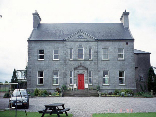 Sherwood Park Housecountry house · 1.8 mi
 Church in KilbrideChurch · 2.0 mi
 Altamont Gardens MapVisitor information · 2.3 mi
 Altamont House and GardensHeritage attraction · 2.4 mi
 Scots PineScots Pine · 2.5 mi
 GreenogeMountain / peak · 3.0 mi
 CroaghaunMountain / peak · 3.1 mi
 Church (in ruins), GraveyardChurch · 3.1 mi