
Places near here
Photo credits
- National Inventory of Architectural Heritage
- Pamela Norrington, Geograph · CC BY-SA 2.0
- Didier Descouens, Wikimedia Commons · CC BY-SA 4.0
- Golfing in Ireland; photographer not stated, Source publisher
- Swinford GAA; the page thanks Michael Maye, Rita Campbell and Fiona McDonagh, without assigning the panoramic image to one maker, swinfordgaa.ie
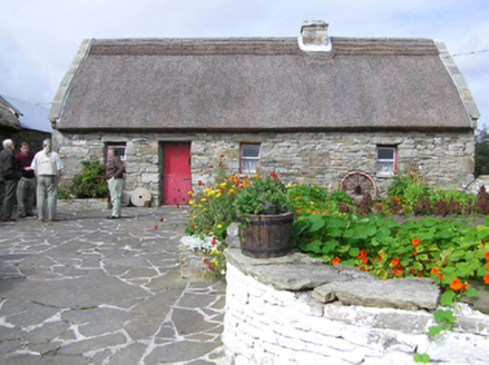 farm house559 yd
Explorer Tom Farm house in Rubble has a Turkish reed roof that looks absolutely ridiculous against the local stone. A goat ruled…
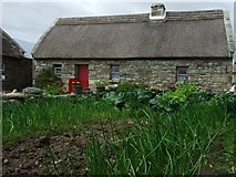 Hennigan's Heritage CentreHeritage attraction · 586 yd
Explorer Tom Hennigan's Heritage Centre would cope brilliantly on a reality show, probably winning every challenge by sheer…
 Hawthorn756 yd
Explorer Tom Hawthorn witnessed a love story that went badly wrong next to it, involving a lot of crying and one very torn jacket.…
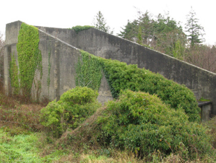 handball alley1446 yd
Explorer Tom Handball alley in Pollsharvoge would tell Saint Patrick he missed the point entirely with all that snake stuff. It…
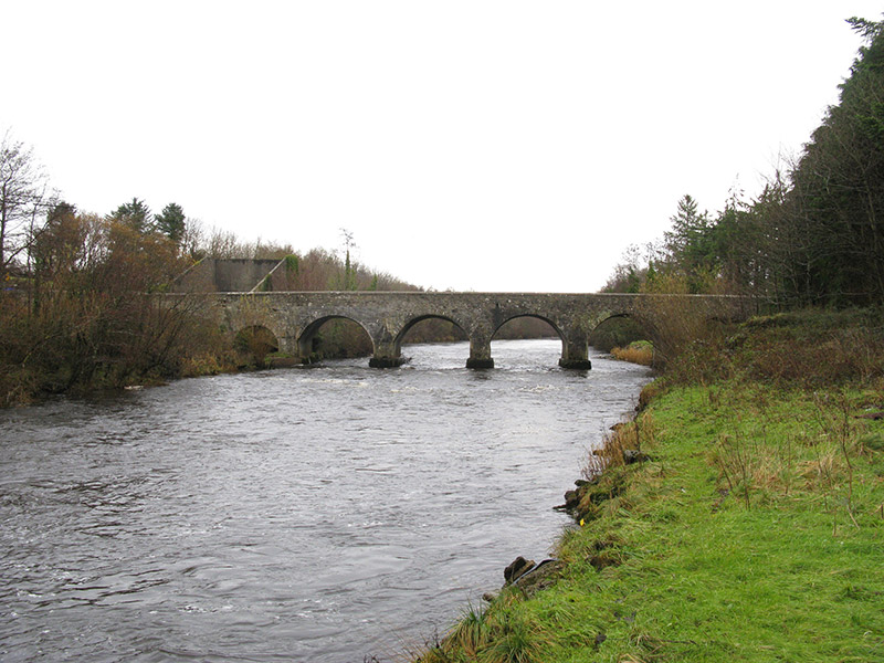 Cloongullaun BridgeBridge · 1467 yd
Explorer Tom Cloongullaun Bridge in Cloongullaun, Pollsharvoge, County Mayo was used to smuggle cheese in barrels during the last…
 bridge2.1 mi
Explorer Tom Bridge in Carrowbeg is part of the 'Burma Road,' which sounds like an adventure but was just a railway line. It’s got…
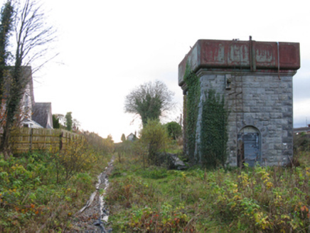 Swinford Railway StationBuilding misc · 2.2 mi
Explorer Tom Swinford Railway Station has a water tower that would describe the 1800s to a teenager as 'very slow but with better…
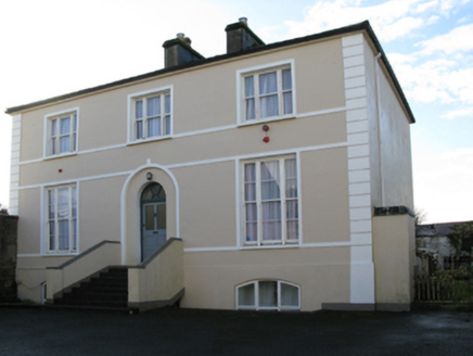 rectory/glebe/vicarage/curate's house2.2 mi
Explorer Tom Rectory in Swineford is showing off its fancy door, acting like it’s royalty when it’s just a vicar’s pad from 1819.…
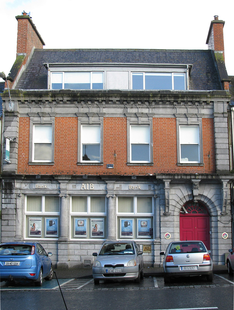 Allied Irish BankBank/financial institution · 2.3 mi
Explorer Tom Allied Irish Bank in Swineford is haunted by a ghost who is far too lazy to actually haunt the vaults. He just sits on…
 Bank of IrelandBank/financial institution · 2.3 mi
Explorer Tom Bank of Ireland in Swineford was built on a bargain that still smells like fresh money and regret. It looks like a…
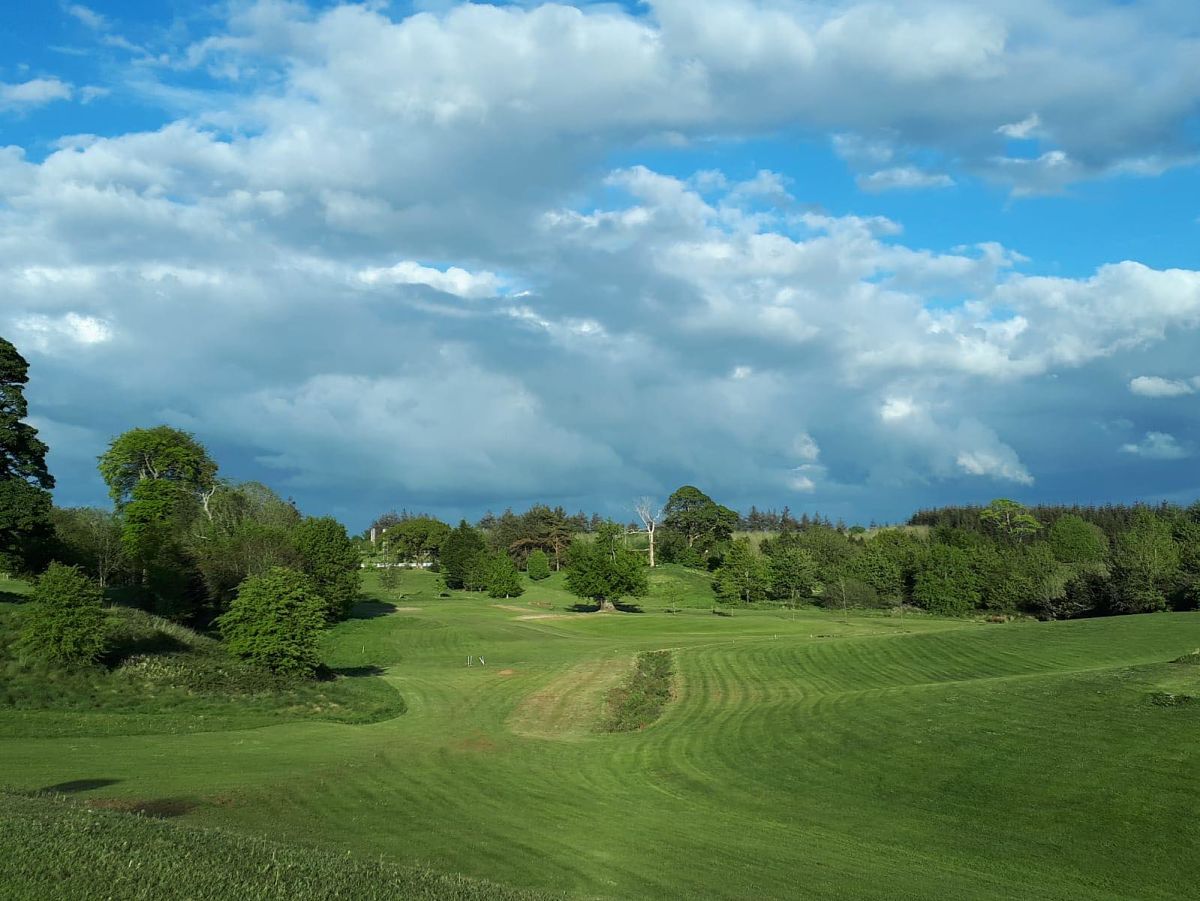 Swinford Golf ClubGolf course · 2.7 mi
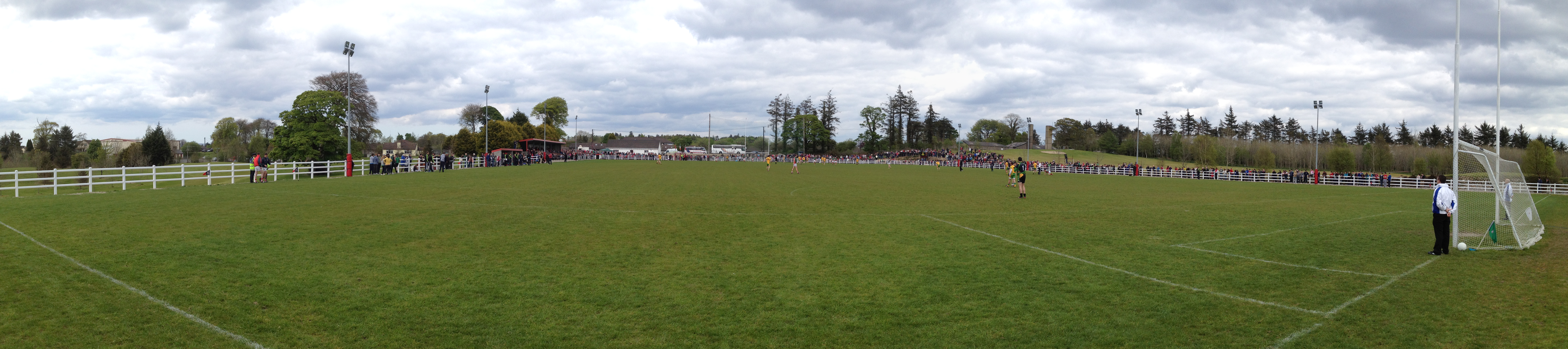 Robert McCallion Memorial Park, Swinford GAAGAA ground · 2.8 mi
More archaeology and monuments in County Mayo · All of County Mayo

What do you know about this place?Tap to add a comment or ask a question