What is recorded here
Marked as a structure on the 1837 and 1914 eds of the OS 6-inch map, and situated at the NE edge of a karst limestone outcrop which is at the top of Cregga Hill. It is traditionally regarded as the site of a Mac Dermot Roe castle, although it is more likely to be O'Conor Roe (Lewis 1837, vol. 2, 217). A rectangular structure (int. dims 8.3m N-S; 3.8m N-S; H 2.6m) is excavated in a rock face, with a destroyed fireplace (Wth 1.8m) and flue in the masonry face of the W wall. There is a blocked doorway (Wth 0.9m) towards the E end of the N wall with a cupboard (Wth 0.9m; D 0.4m; H 1.2m) beside it. A masonry vault is built overhead (H c. 4m) with a window under the vault in the E wall and a doorway (Wth 0.8m; H 1.6m) under the vault in its W wall (T 1.3m plus). This doorway leads onto the top of the outcrop but there is no evidence of further floors. The building was converted into a coach house when a large flat-arched doorway (Wth 2.15m; H 3.15m) with an external rebate was inserted into the E wall. House (RO023-200002-) is c. 100m to the E. (Kennedy 2000)
Compiled by: Michael Moore
Date of upload: 24 August 2010
Marked as a structure on the 1837 and 1914 eds of the OS 6-inch map, and situated at the NE edge of a karst limestone outcrop which is at the top of Cregga Hill. It is traditionally regarded as the site of a Mac Dermot Roe castle, although it is more likely to be O'Conor Roe (Lewis 1837, vol. 2, 217). A rectangular structure (int. dims 8.3m N-S; 3.8m N-S; H 2.6m) is excavated in a rock face, with a destroyed…
From the National Monuments Service (Archaeological Survey of Ireland) record RO023-200001
The monument record does not grant public access. Check the route and ask the landowner before entering private land.
- What survives
- Recorded monument
Places near here
CastleCastle, unclassified · 1.9 mi Cloonahee HouseCountry house · 2.4 miSmith Hill HouseCountry house · 2.6 miPedunculate Oak3.0 miPedunculate Oak3.1 miStrokestown House GardensHeritage attraction · 3.4 miStrokestown ParkHeritage attraction · 3.5 miWar of Independence Commemorative Military MemorialMemorial · 3.7 miGrave YardGraveyard · 4.6 miGoat IslandIslet · 5.1 miCastleCastle, unclassified · 5.2 miGrave YardGraveyard · 5.7 mi
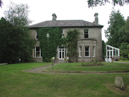 Cloonahee HouseCountry house · 2.4 mi
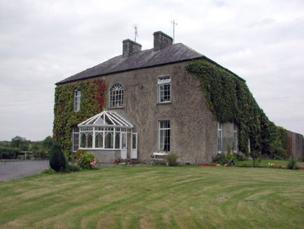 Smith Hill HouseCountry house · 2.6 mi
 Pedunculate Oak3.0 miPedunculate Oak3.1 mi
 Strokestown House GardensHeritage attraction · 3.4 mi
 Strokestown ParkHeritage attraction · 3.5 mi
 War of Independence Commemorative Military MemorialMemorial · 3.7 mi
 Grave YardGraveyard · 4.6 miGoat IslandIslet · 5.1 miCastleCastle, unclassified · 5.2 mi
 Grave YardGraveyard · 5.7 mi
Pictures: National Inventory of Architectural Heritage; Algirdas at Lithuanian Wikipedia, Wikimedia Commons · Public domain; Christopher Hilton, Wikimedia Commons · CC BY-SA 2.0; Laurel Lodged, Wikimedia Commons · CC0; PatWhelehan, Wikimedia Commons · CC BY-SA 4.0; Eric Jones, Geograph · Creative Commons Attribution-ShareAlike 2.0
More castles and forts in County Roscommon · All of County Roscommon
What do you know about this place?