What is recorded here
In undulating pasture. Shown on OS map (1838) as circular enclosure and indicated on 1929 ed. as roughly oval area (43m NW-SE; 38m NE-SW). Site has been cleared, no visible surface traces.
The above description has been derived from D. Lavelle (compiler), An Archaeological Survey of Ballinrobe and District including Lough Mask and Lough Carra. Lough Mask and Lough Carra Tourist Development Association (1994), No. 403.
Date of upload: 23 December 2014
The monument record does not grant public access. Check the route and ask the landowner before entering private land.
- What survives
- Recorded monument
Places near here
 IndicatedFairy fort / stone ringfort · 594 yd
 Bawn in Kilkeeran (kilmaine By., Kilmainebeg Par.)Bawn · 1313 yd
 Church in ruinsChurch · 1441 yd
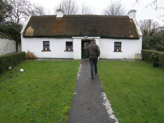 farm housefarm house · 1563 yd
 Enclosure in BallymartinEnclosure · 1576 yd
 Bawn in Cregduff (kilmaine By., Kilmainemore Par.)Bawn · 1.6 mi
 Cregg PlantationForest · 3.9 mi
 Gibbs IslandsIslet · 4.1 mi
 European ashEuropean ash · 4.4 mi
 Easter IslandIslet · 4.6 mi
 LabbadermotCave · 4.6 mi
 Cong AbbeyHeritage attraction · 5.3 mi