What is recorded here
Situated on rock outcrop in an upland area with extensive views. Described in the Civil Survey (1654-6) as 'the walls of a castle and a Barbicon' (Simington 1934, vol. 2, 179). John Ryan is listed as proprietor in 1640 (ibid.). Present remains consist of a rectangular tower house (TN031-048001) three storeys high built with roughly coursed sandstone rubble with a high pronounced base-batter. Nineteenth-century outhouses now obscure a possible bawn area (TN031-048002) located to the N and W of the tower.
The above description is derived from 'The Archaeological Inventory of County Tipperary. Vol. 1 - North Tipperary' compiled by Jean Farrelly and Caimin O'Brien (Dublin: Stationery Office, 2002). In certain instances the entries have been revised and updated in the light of recent research.
Date of upload/revision: 22 September 2008
The monument record does not grant public access. Check the route and ask the landowner before entering private land.
- What survives
- Recorded monument
Places near here
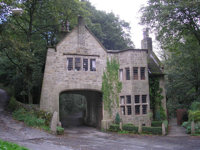 CastleCastle, tower house · 29 yd
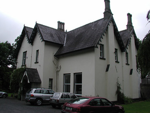 Cragg Househouse · 316 yd
 Font in BallyardFont · 783 yd
 Enclosure in Mackney (bourke)Enclosure · 1.2 mi
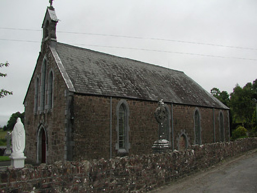 Catholic Church of Our Lady of the Waysidechurch/chapel · 1.5 mi
 The Pollagh TrailNature reserve · 2.4 mi
 Cast Iron BridgeHeritage attraction · 2.6 mi
 Site of Derryleigh CastleCastle, unclassified · 3.0 mi
 The CapstanHeritage attraction · 3.0 mi
 Brian Boru Heritage CentreVisitor information · 4.7 mi
 Kilroughil Graveyard (Site of)Archaeological place · 4.8 mi
 Doonan's HillMountain / peak · 5.0 mi