What is recorded here
A large roughly circular enclosure (diam. c. 175m) which rises to a height in the interior. On the 1st (1839) ed. OS 6-inch map a trackway runs along the NE and SE sectors, possibly giving the perimeter in these sectors a straighter edge then it would have been originally. A sinuous road runs along the S side and there is a small farmstead in the WSW which encroaches slightly into the interior and a field boundary bisects the interior from NW-SE. There is also a field boundary following the curving perimeter of the enclosure from W-N. On the 1947 revision the shape of the enclosure is similar, though the trackway is now just a field boundary and the building formerly in the SW sector on the 1st ed. map is not indicated. Satellite imagery (Digitalglobe, viewed 24 August 2021) shows the interior of the monument under grass, the field boundary from W-N has been removed with only the fosse visible, otherwise the perimeter is as shown on the OS maps.
A large roughly circular enclosure (diam. c. 175m) which rises to a height in the interior. On the 1st (1839) ed. OS 6-inch map a trackway runs along the NE and SE sectors, possibly giving the perimeter in these sectors a straighter edge then it would have been originally. A sinuous road runs along the S side and there is a small farmstead in the WSW which encroaches slightly into the interior and a field…
From the National Monuments Service (Archaeological Survey of Ireland) record KK023-073
This remains an important historical record, but the official description says the monument is no longer visible or has been destroyed. The monument record does not grant public access. Check the route and ask the landowner before entering private land.
- What survives
- No visible remains or recorded as destroyed
Places near here
Photo credits
- A.-K. D., Wikimedia Commons · CC BY-SA 4.0
- A.-K. D., Wikimedia Commons · CC0
- National Inventory of Architectural Heritage
- P L Chadwick, Geograph · CC BY-SA 2.0
- Martin Richard Phelan, Wikimedia Commons · CC BY-SA 2.0
- Eirian Evans, Geograph · CC BY-SA 2.0
- Charles Vallancey, Rev Joseph Turner (Life time: died 1812 / 1835), Wikimedia Commons · Public domain
- Dave Henderson, Wikimedia Commons · CC BY-SA 2.0
 Ballyda Holy WellSpring · 1358 yd
 Ladys WellHoly well · 1543 yd
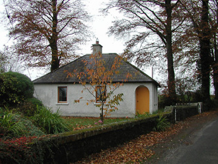 Burnchurch HouseGate lodge · 1714 yd
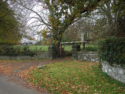 Burnchurch HouseGates/railings/walls · 1717 yd
 Burnchurch CastleVisitor information · 1.3 mi
 Lacken WellSpring · 2.0 mi
 Ballybur CastleCastle, tower house · 2.0 mi
 Kells Priory Mill MuseumMuseum · 2.1 mi
 CastleCastle, motte and bailey · 2.1 mi
 Kells Loop WalkWalking route · 2.2 mi
 ToberakinHoly well · 2.3 mi
 Kells Augustinian PrioryArchaeological place · 2.3 mi
More archaeology and monuments in County Kilkenny · All of County Kilkenny
What do you know about this place?