What is recorded here
Located on a slight S-facing slope, with the edge of a bog c.100m to the S. A circular, steep-sided earthen mound (diam. c. 19m; H c. 2.65m). Field banks which abutted the base of the site at E and W have been levelled, however, the remains of these banks are still visible, forming a berm-like feature. There is a slight fosse in the NE quadrant (Wth c. 2.4m; D 0.2m). Uprooted scrub has been dumped on the mound itself and some large trees on the sides appear to have fallen in situ.
The above description is derived from 'The Archaeological Inventory of County Tipperary. Vol. 1 - North Tipperary' compiled by Jean Farrelly and Caimin O'Brien (Dublin: Stationery Office, 2002). In certain instances the entries have been revised and updated in the light of recent research.
Date of upload/revision: 22 September 2008
The monument record does not grant public access. Check the route and ask the landowner before entering private land.
- What survives
- Recorded monument
Places near here
 LisheenArchaeological place · 917 yd
 IndicatedEnclosure · 1334 yd
 Castle (in ruins)Castle, hall-house · 1528 yd
 Ballylusky MoatCastle, motte · 1641 yd
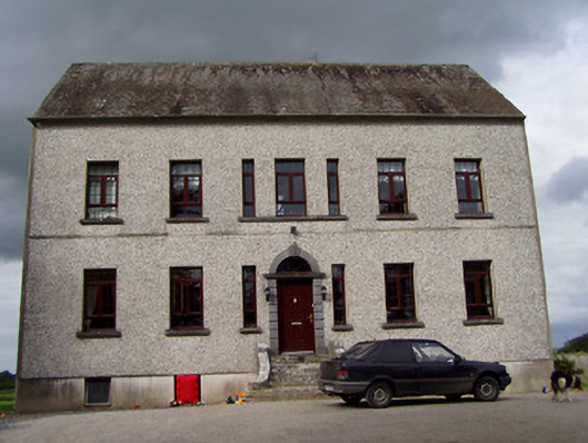 Clermont Housecountry house · 1.1 mi
 Fort Williamhouse · 1.3 mi
 Ballycapple WoodForest · 1.4 mi
 James Devaney MemorialMemorial · 2.9 mi
 MacDonagh HouseMemorial · 3.3 mi
 Thomas MacDonagh Heritage CentreMuseum · 3.3 mi
 Knockanacree WoodForest · 3.6 mi
 Knigh HillMountain / peak · 4.2 mi