What is recorded here
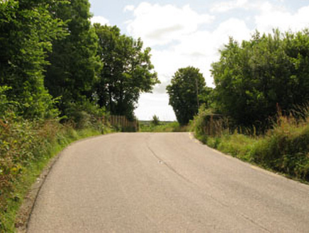
In pasture. Irregular area (c. 85m NW-SE; c. 80m NE-SW) enclosed by arc of field boundary fence SW->NE; field fence straightens out at both ends of arc to meet NE-SW laneway. On 1842 OS 6-inch map similar area enclosed but arc continues to ESE. No surface trace of roughly quadrangular enclosure (c. 22m NE-SW; max c. 30m NW-SE) shown on 1842 OS 6-inch map as adjoining inner side of fence in NE quadrant. According to Hartnett (1939, 210), locally known as 'a "lios" ..... modern fence follows the curve of the old rampart for two thirds of its circumference ..... 240 feet in diameter'.
From the National Monuments Service (Archaeological Survey of Ireland) record CO085-071
Places near here
Photo credits
- National Inventory of Architectural Heritage
- Neville Goodman, Wikimedia Commons · CC BY-SA 2.0
- Hywel Williams, Geograph · CC BY-SA 2.0
- Brendandiamond, Wikimedia Commons · CC BY-SA 3.0
- Mike Searle, Geograph · CC BY-SA 2.0
- Vadim Manuylov, Wikimedia Commons · CC BY-SA 3.0
- Neville Goodman, Geograph · Creative Commons Attribution-ShareAlike 2.0
- Richard Fensome, Wikimedia Commons · CC BY-SA 2.0
 Corran HouseHouse · 703 yd
 Charlie Hurley MemorialMemorial · 1.5 miBi-Centenary of 1798Memorial · 1.6 mi
 bridge1.6 miCorbally Montessori & Early Years' Pre-schoolVisitor information · 2.1 mi
 Sunday WellSpring · 2.9 mi
 Grave YardGraveyard · 2.9 mi
 Ballincollig CastleCastle · 3.8 mi
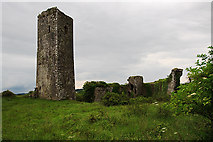 Ballincollig Castle (in Ruins)Castle, tower house · 3.8 mi
 Monterey Cypress4.7 mi
 Kilpadder Burial Ground (Site of)Burial ground · 5.2 mi
 Kilcrea CastleWood · 5.3 mi
More archaeology and monuments in County Cork · All of County Cork
What do you know about this place?Tap to add a comment or ask a question