
What is recorded here
Detached formerly T-plan three-bay three-storey house, built c.1760. Two-storey additions flanking former return to rear, and abutted by two-bay-two-storey house to northern corner. Recent two-storey extensions to rear and lean-to extension to side (south). Pitched slate roof with cat-slide to rear pitch, having limestone eaves course, rendered chimneystacks and uPVC rainwater goods. Roughcast rendered walls with rendered plinth. Square-headed window openings with limestone sills, having three-over-three pane timber sliding sash windows to second floor and uPVC casement windows elsewhere. Render sills and two-over-two pane timber sliding sash windows to rear elevation of abutting house. Arcaded fixed timber-framed windows to porch. Square-headed door opening to porch with glazed timber door. Round-headed door opening visible to interior. Complex of derelict outbuildings to rear with remains of pitched slate and corrugated-iron roofs. Rubble stone walls. Square-headed openings with remains of timber battened fittings. Flight of stone steps to southern end of front (north-east) elevation. Segmental-arched openings to southern end with roughly dressed voussoirs. Set within own grounds, having quadrant-style square-profile roughcast rendered piers with curved walls to entrance.
The tall, elegant form of this house indicates an early date. Although altered and modernised, the character of this eighteenth century house remains discernible. Located at the end of a long drive, it is set within its own mature grounds, which together with the outbuildings to the rear, adds to its context.
From the Buildings of Ireland (National Inventory of Architectural Heritage) record 20908510
This does not grant access. Most recorded buildings are privately owned; view them only from public ground unless the owner allows entry.
Places near here
Photo credits
- National Inventory of Architectural Heritage
- Neville Goodman, Wikimedia Commons · CC BY-SA 2.0
- Hywel Williams, Geograph · CC BY-SA 2.0
- Hywel Williams, Geograph · Creative Commons Attribution-ShareAlike 2.0
- Brendandiamond, Wikimedia Commons · CC BY-SA 3.0
- Mike Searle, Geograph · CC BY-SA 2.0
- Vadim Manuylov, Wikimedia Commons · CC BY-SA 3.0
- Richard Fensome, Wikimedia Commons · CC BY-SA 2.0
Bi-Centenary of 1798Memorial · 1.2 mi bridge1.2 miCharlie Hurley MemorialMemorial · 1.6 miCrossbarry BridgeBridge · 1.8 miCorbally Montessori & Early Years' Pre-schoolVisitor information · 2.5 miSunday WellSpring · 2.6 miGrave YardGraveyard · 2.8 miGrave YardGraveyard · 3.6 miBallincollig CastleCastle · 4.2 miBallincollig Castle (in Ruins)Castle, tower house · 4.2 miMonterey Cypress4.4 miKilcrea CastleWood · 5.5 mi
 bridge1.2 miCharlie Hurley MemorialMemorial · 1.6 mi
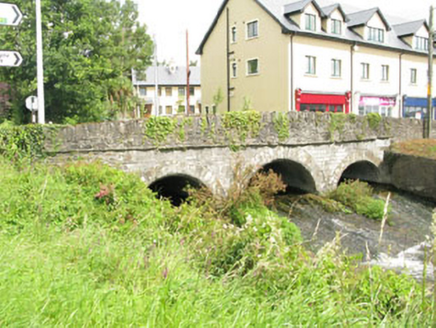 Crossbarry BridgeBridge · 1.8 miCorbally Montessori & Early Years' Pre-schoolVisitor information · 2.5 mi
 Sunday WellSpring · 2.6 mi
 Grave YardGraveyard · 2.8 mi
 Grave YardGraveyard · 3.6 mi
 Ballincollig CastleCastle · 4.2 mi
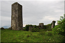 Ballincollig Castle (in Ruins)Castle, tower house · 4.2 mi
 Monterey Cypress4.4 mi
 Kilcrea CastleWood · 5.5 mi
More historic places in County Cork · All of County Cork
What do you know about this place?