What is recorded here
Located towards the top of a low rise. it is visible as an anomalous feature on aerial photographs (GSIAP: H, 72-3). This is a grass and rush-covered subrectangular area (dims 15m E-W; 9m N-S) defined by an overgrown field bank at N and by a scarp (H 0.4m) and an external band of rushes (Wth 1.5m) at the other sides. The enclosure is overlain by a N-S field wall at W, and it may be the S part of a larger enclosure truncated by the field bank at N. Moore (Dublin: Stationery Office, 2003).
From the National Monuments Service (Archaeological Survey of Ireland) record LE029-016
Places near here
Photo credits
- National Inventory of Architectural Heritage
- Fifiheavey, Wikimedia Commons · CC BY-SA 4.0
- Maker named on the Wikimedia Commons picture page · CC BY-SA 2.5
- Oliver Dixon, Geograph · Creative Commons Attribution-ShareAlike 2.0
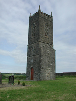 Saint James's Church (Cloone)Church/chapel · 2.4 mi
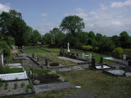 graveyard/cemetery2.4 mi
 Graveyard2.8 mi
 Sessile Oak3.0 mi
 Giant's GraveArchaeological place · 3.8 mi
 IndicatedGraveyard · 4.5 miTurlough O'Carolan MonumentHeritage attraction · 4.6 miCastleCastle, tower house · 5.0 miBuck IslandIsland · 5.2 miCastleforeCastle, tower house · 5.3 miCrane IslandIslet · 5.4 miSwan Island pet farmHeritage attraction · 5.6 mi
More archaeology and monuments in County Leitrim · All of County Leitrim
What do you know about this place?Tap to add a comment or ask a question