What is recorded here
Marked 'Bog Road' on an undated Longfield map (21.F.43(9)) in NLI, extending WNW-ESE from good pasture to bogland (L c. 400m) on the W shore of Lough Ree. Marked also on the 1837 and 1915 eds of the OS 6-inch map but not named. This is an old disused boreen with a peaty surface, flanked by drystone limestone walls. The width varies and it is partly sunk into the bog. There is no reason other than Longfield map to believe it is any different to other bog roads, or any earlier than the exploitation of the bog.
Compiled by: Michael Moore
Date of upload: 24 August 2010
The monument record does not grant public access. Check the route and ask the landowner before entering private land.
- What survives
- Recorded monument
Places near here
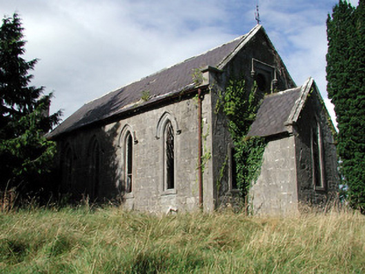 Saint Paul's Church (Kiltoom)church/chapel · 383 yd
 Hilltop enclosure in CappalisheenHilltop enclosure · 950 yd
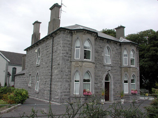 Catholic Church of the Risen Christpresbytery/parochial/curate's house · 1063 yd
 Bally BayBay · 1514 yd
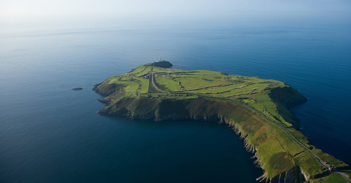 Sedgy IslandIslet · 1754 yd
 IndicatedFairy fort / earthen ringfort · 1.1 mi
 Horse IslandIslet · 1.2 mi
 Hodson's BayBay · 1.3 mi
 Curraghboy CastleCastle, unclassified · 3.5 mi
 Siege of Athlonesiege · 3.7 mi
 Historic Town - Athlone Castle & Church of St Peter and PaulVisitor information · 4.4 mi
 Athlone CastleVisitor information · 4.5 mi