What is recorded here
Towards the bottom of the S-facing slope of a low drumlin in a loop of the River Shannon which is c. 230-400m distant W-N-SE. Subcircular grass-covered area (dims 47m N-S; 40m E-W) defined by a scarp (H 0.25m at S to 0.55m at N), with an outer fosse (Wth of base 4-4.5m; D 0.2-0.5m) NW-N. There is no visible entrance.
Compiled by: Michael Moore
Date of upload: 24 August 2010
The monument record does not grant public access. Check the route and ask the landowner before entering private land.
- What survives
- Recorded monument
Places near here
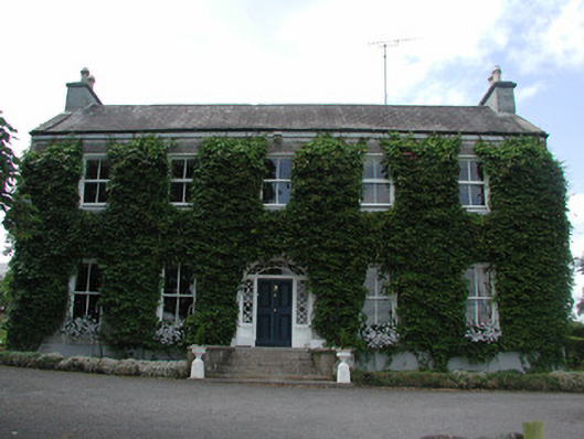 Hollywellhouse · 744 yd
 Moon RiverHeritage attraction · 754 yd
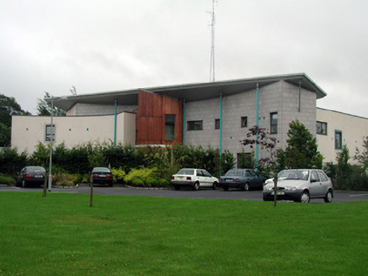 Carrick-on-Shannon Courthousecourt house · 800 yd
 Fortification in TownparksFortification · 834 yd
 Ecclesiastical enclosure in AttiroryEcclesiastical enclosure · 887 yd
 CastlecarraCastle, unclassified · 1.5 mi
 Hughestown WoodForest · 3.1 mi
 Patrick Gill Memorial Plaque (IRA)Monument · 3.3 mi
 Robert Strawbridge MemorialMemorial · 3.3 mi
 Wildlife AreaNature reserve · 3.5 mi
 Site of Dangan CastleCastle, unclassified · 3.8 mi
 Leabaidh DermotCave · 4.9 mi