What is recorded here
Located on top of a fairly low drumlin known as Mullinascaria. This is a grass and rush-covered D-shaped area (dims 31m ENE-WSW; 29m NNW-SSE) defined by a scarp (H 0.8-1m) with some bushes and an external band of rushes (Wth 2-3m) E-S-N. The monument is truncated by a NW-SE field bank at NE and the perimeter is damaged by a quarry at SW. The original entrance is not identified.
From the National Monuments Service (Archaeological Survey of Ireland) record LE015-080
Places near here
Photo credits
- National Inventory of Architectural Heritage
- Willie Duffin, Geograph · Creative Commons Attribution-ShareAlike 2.0
- Oliver Dixon, Geograph · CC BY-SA 2.0
- Willie Duffin, Wikimedia Commons · CC BY-SA 2.0
- John Darcy, Wikimedia Commons · CC BY-SA 2.0
- Raymond Bell, Geograph · CC BY-SA 2.0
- Richard Webb, Wikimedia Commons · CC BY-SA 2.0
- NiallPFlynn, Wikimedia Commons · CC BY-SA 4.0
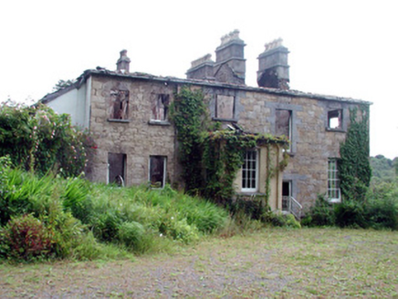 Drumlease Glebe HouseRectory/glebe/vicarage/curate's house · 798 yd
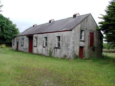 Dromahair CreameryCreamery · 1098 yd
 Old HallCastle, hall-house · 1.5 miGreen IslandIslet · 1.8 mi
 Grave YardGraveyard · 3.2 mi
 Trawane BayBay · 4.0 mi
 Parke's CastleHeritage attraction · 4.0 mi
 CastleCastle, tower house · 4.0 mi
 InnisfreeIslet · 4.1 mi
 BenboMountain / peak · 4.6 mi
 Court Tomb TrailWalking route · 6.0 mi
 Giants GraveCourt tomb · 6.1 mi
More archaeology and monuments in County Leitrim · All of County Leitrim
What do you know about this place?Tap to add a comment or ask a question