What is recorded here
On a low rise in a low-lying landscape. Oval grass-covered but poached area (dims 39.5m E-W; 31m N-S) defined by an earthen bank (at E: Wth 2.85m; int. H 0.3m; ext. H 0.7m; at N: Wth 4.4m; int. H 0.9m; ext. H 1.25m) with some bushes WSW-N-E which is reduced to a scarp (H 0.7m) elsewhere, and an outer fosse (Wth of top 4m; Wth of base 2.5-3.3m; D 0.2-0.4m) N-NE. There is no visible entrance, but an E-W field bank and hedge overlies the interior towards the perimeter at S. Rath (RO017-053----) is c. 30m to the N.
From the National Monuments Service (Archaeological Survey of Ireland) record RO017-054
Places near here
Photo credits
- National Inventory of Architectural Heritage
 Embanked enclosureFairy fort / earthen ringfort · 311 ydIndicatedFairy fort / earthen ringfort · 764 ydSite of Dangan CastleCastle, unclassified · 1.3 miMullinashee WoodForest · 1.5 miMaguire's WoodForest · 1.7 mi
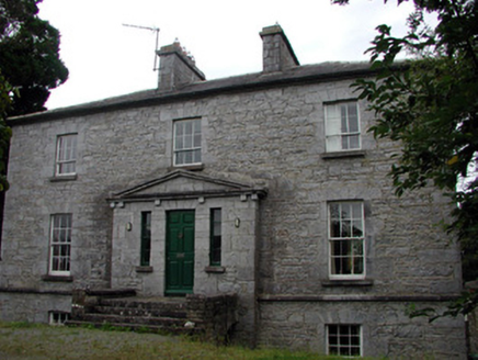 The Old RectoryRectory/glebe/vicarage/curate's house · 2.0 mi
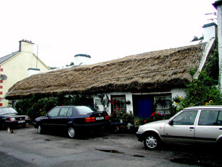 The ThatchHouse · 2.0 miHat IslandIslet · 3.0 miGarrymond IslandIslet · 3.1 miPatrick Gill Memorial Plaque (ira)Monument · 3.3 miRobert Strawbridge MemorialMemorial · 3.4 miMoon RiverHeritage attraction · 3.9 mi
More archaeology and monuments in County Roscommon · All of County Roscommon
What do you know about this place?Tap to add a comment or ask a question