
What is recorded here
Indicated is a vanished Cavan ringfort, half erased by a field boundary and half hidden beneath ordinary farmland. Its thirty-seven-metre circle may still breathe beneath the soil, waiting for rain, foot traffic or memory to reveal the shape of the house that once stood there.
Raised circular area (int. diam. c. 37m) enclosed by a low earthen bank and a field drain which was probably dug on the site of a fosse. Site is divided into two roughly equal portions by a field boundary running NNE-SSW, ESE of which there are no surface indications of the rath. Original entrance not recognisable.
The above description is derived from the published 'Archaeological Inventory of County Cavan' (Dublin: Stationery Office, 1995). In certain instances the entries have been revised and updated in the light of recent research.
Date of upload/revision: 22 December 2008
The monument record does not grant public access. Check the route and ask the landowner before entering private land.
- What survives
- Recorded monument
Places near here
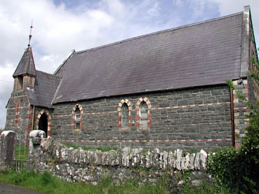 Saint Columba's Church (Moybolgue)church/chapel · 1262 yd
 Fulacht fia in AgheraghFulacht fia · 1.1 mi
 Enclosure in EdengoraEnclosure · 1.2 mi
 TeevurcherMountain / peak · 1.2 mi
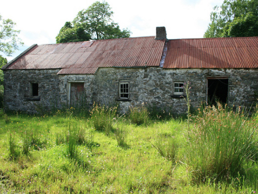 farm housefarm house · 1.5 mi
 LoughanleaghForest · 1.9 mi
 Castle in ruinsCastle, unclassified · 2.0 mi
 Fair of MuffMemorial · 2.1 mi
 Blackhills LowerMountain / peak · 2.1 mi
 Tullynaskeagh EastForest · 2.6 mi
 MoatCastle, motte and bailey · 2.6 mi
 Giants GraveArchaeological place · 3.7 mi
Other information
Photo: Credit not shown in the picture search · Rights wording not checked; contact us if this picture should be removed