What is recorded here
On an E-facing slope overlooking a N-S valley. Depicted on the 1st (1839) ed. OS 6-inch map as a linear feature (L c. 180m) running on the N side of, and parallel to, an approximately E-W townland boundary. This is a broad deep trench (Wth 3m; D 2), possibly a hollow-way.
Compiled by: Jean Farrelly
Date of upload: 29 June 2020
The monument record does not grant public access. Check the route and ask the landowner before entering private land.
- What survives
- Recorded monument
Places near here
 IndicatedEnclosure · 686 yd
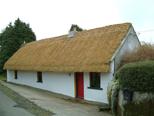 Maherhouse · 1600 yd
 Saint Scuithin's Catholic Churchchurch/chapel · 1.7 mi
 ToberpatrickHoly well · 1.8 mi
 SycamoreSycamore · 2.3 mi
 Freneystown CastleCastle, tower house · 2.5 mi
 Gleann Dick ForestForest · 2.8 mi
 St. Mogarra’s WellSpring · 3.2 mi
 Clara CastleCastle, tower house · 3.4 mi
 Edward BurkeMemorial · 5.3 mi
 Gallows HillMountain / peak · 5.6 mi
 Saint Molagga's WellSpring · 6.2 mi