
What is recorded here
Located towards the bottom of the undulating E-facing slope of a drumlin. A large enclosure (dims c. 150m N-S; c. 100m E-W) defined by field banks S-W-N and by a townaland boundary with Coolderry (par. Donaghmoyne) elsewhere is depicted on the 1834 edition of the OS 6-inch map with a burial ground at the centre. The enclosure is a grass-covered area defined by a low grass-covered bank (Wth 3m; int. H 0.2m; ext. H 1.2m) or scarp S-W-N and by the field bank and townland boundary elsewhere. There is no evidence of the burial ground, but a bullaun stone (MO032-004002-) is at the field bank ESE of the centre. There is a local tradition that a St. Derrig had a monastery here, but this cannot be confirmed (Ó Riain 2011).
Compiled by: Michael Moore
Date of upload: 27 July, 2017
The monument record does not grant public access. Check the route and ask the landowner before entering private land.
- What survives
- Recorded monument
Places near here
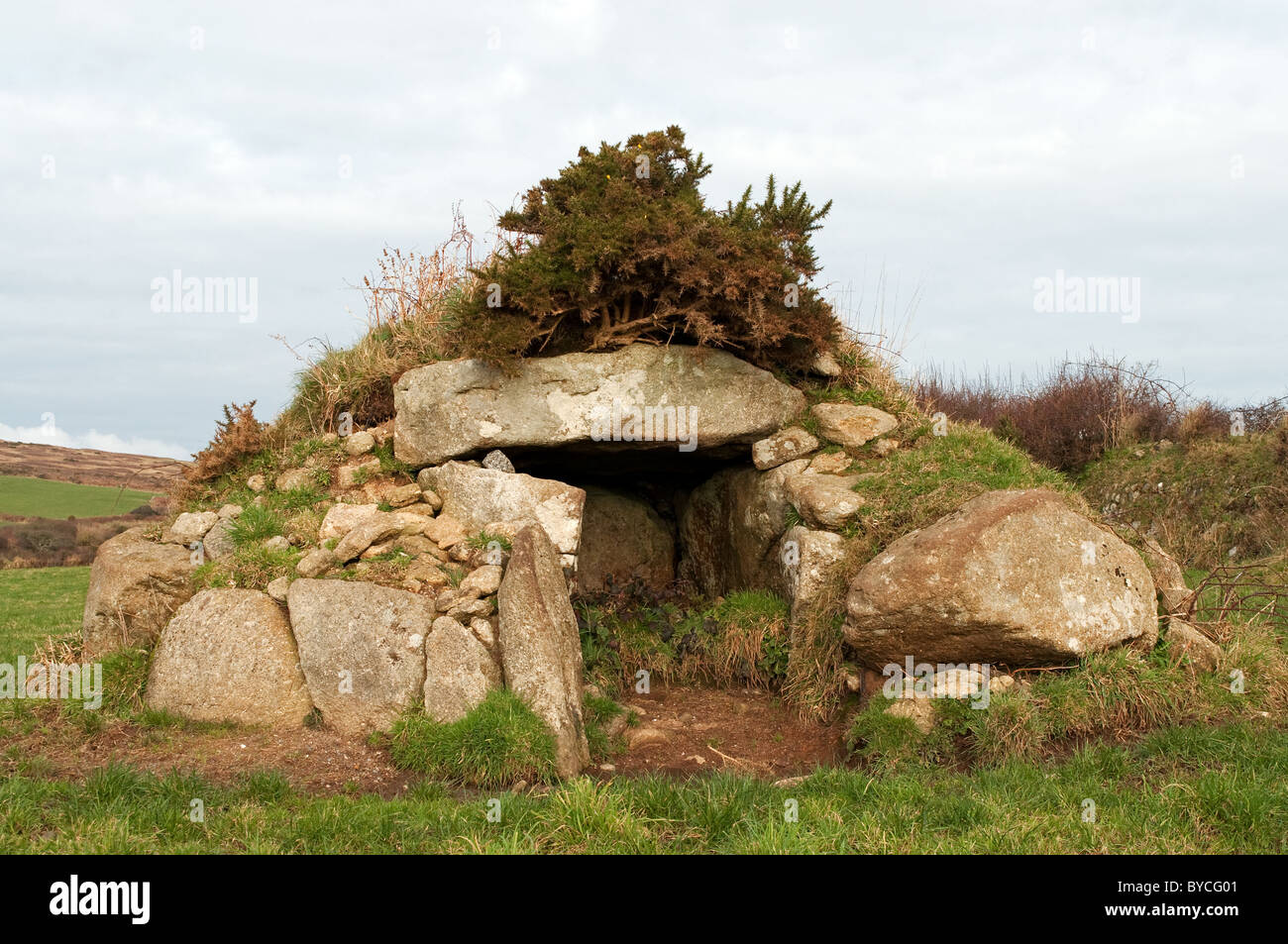 Caldragh Ancient Burial Gd.Burial ground · 23 yd
 bridgebridge · 1108 yd
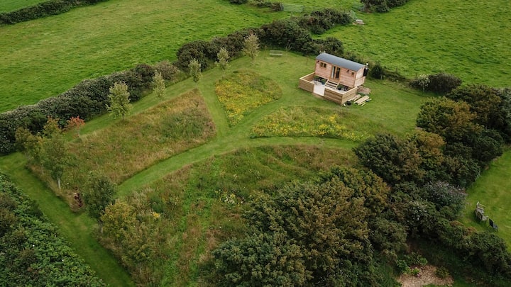 Hut site in DuneltyHut site · 1132 yd
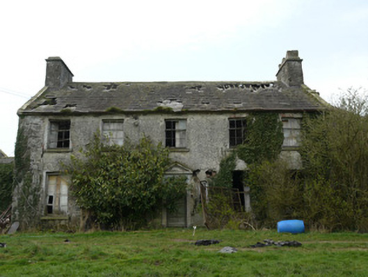 Rocksavagecountry house · 1247 yd
 CastleCastle, unclassified · 1.6 mi
 Mannan Castle (in ruins)Castle, Anglo-Norman masonry castle · 3.6 mi
:no_upscale()/cdn.vox-cdn.com/uploads/chorus_asset/file/25593391/County_Louth_6th.jpg) LouthMountain / peak · 4.4 mi
LouthMountain / peak · 4.4 mi Horse-chestnutHorse-chestnut · 4.6 mi
 Flat cemetery in AnnaheanFlat cemetery · 4.6 mi
 European BeechEuropean Beech · 4.9 mi
 TobernagalliaghSpring · 5.0 mi
 Ballsmill Amenity LandPicnic place · 7.3 mi
Other information
Photo: Credit not shown in the picture search · Rights wording not checked; contact us if this picture should be removed