What is recorded here
Located towards the bottom of the undulating E-facing slope of a drumlin. It is depicted faintly as trapezoidal feature (dims c. 20-4-m NW-SE; c. 20m NE-SW) described in gothic lettering as a ‘Caldragh’ or ‘Ancient Burial Ground’ on the 1834 edition of the OS 6-inch map. It is not visible at ground level, but there is a local tradition of bones and headstones being found during ploughing. No archaeological feature is visible at ground level in pasture but it is within an ecclesiastical enclosure (MO032-004003-), and the bullaun stone (MO032-004002-) is against the field bank just to the ESE.
The above description is derived from the published 'Archaeological Inventory of County Monaghan' (Dublin: Stationery Office, 1986). In certain instances the entries have been revised and updated in the light of recent research.
Date of revision: 27 July 2017
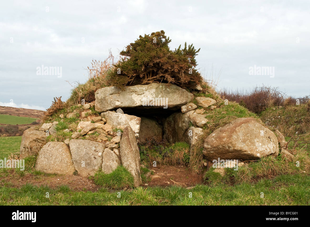
Portal dolmen; likely dates to the Neolithic or Early Bronze Age. Its presence indicates a tradition of megalithic funerary practice in the region, though its specific cultural or ritual significance remains unclear due to lack of detailed excavation.
The monument record does not grant public access. Check the route and ask the landowner before entering private land.
- What survives
- Recorded monument
Places near here
 IndicatedEcclesiastical enclosure · 23 yd
 bridgebridge · 1092 yd
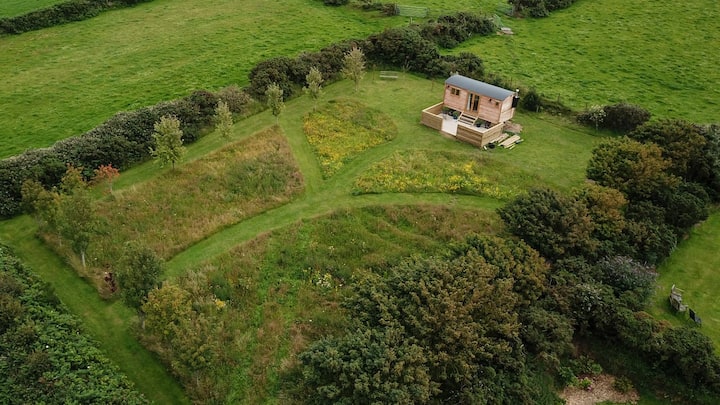 Hut site in DuneltyHut site · 1120 yd
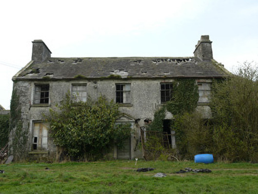 Rocksavagecountry house · 1267 yd
 CastleCastle, unclassified · 1.6 mi
 Mannan Castle (in ruins)Castle, Anglo-Norman masonry castle · 3.6 mi
:no_upscale()/cdn.vox-cdn.com/uploads/chorus_asset/file/25593391/County_Louth_6th.jpg) LouthMountain / peak · 4.4 mi
LouthMountain / peak · 4.4 mi Horse-chestnutHorse-chestnut · 4.6 mi
 Flat cemetery in AnnaheanFlat cemetery · 4.6 mi
 European BeechEuropean Beech · 4.9 mi
 TobernagalliaghSpring · 5.0 mi
 Ballsmill Amenity LandPicnic place · 7.3 mi
Other information
Photo: Credit not shown in the picture search · Rights wording not checked; contact us if this picture should be removed