
What is recorded here
On the summit of a hillock in grassland. Marked on the 1838 edition of the OS 6-inch map as a subtriangular enclosed area of bushes. On the OS 1:2500 plan (surveyed 1912-16) it is depicted as a circular hachured enclosure (diam. c. 38m) planted with deciduous trees; a line of trees also encircles it. On the 1945 revision the trees have been removed. Apart from a dark band of vegetation which indicated its outline, no visible surface trace survived on inspection in April 1984. Possibly a rath or a tree-ring enclosure.
Compiled by: Galway Archaeological Survey, UCG
Date of upload: 21 February 2019
The monument record does not grant public access. Check the route and ask the landowner before entering private land.
- What survives
- Recorded monument
Places near here
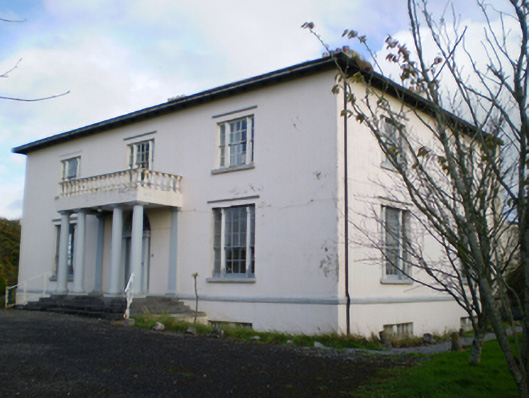 Hearnesbrookcountry house · 1085 yd
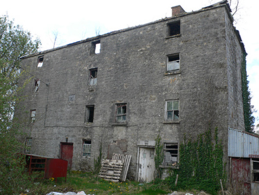 Lisduff Millmill (water) · 1229 yd
 ‘St. Imor’s Holy Well’Holy well · 1716 yd
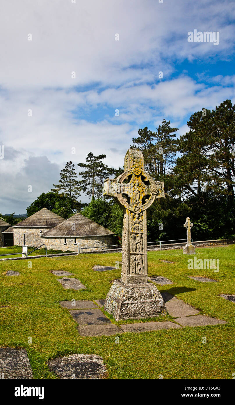 Site of CrossCross · 1.0 mi
 CastleCastle, unclassified · 2.1 mi
 Knockaunnageeragh Castle in ruinsCastle, unclassified · 2.6 mi
 Quarryhill WoodWood · 2.9 mi
 Bog WoodForest · 3.1 mi
 Church HillMountain / peak · 4.2 mi
 Redmond HillMountain / peak · 8.4 mi
 The bloody HollowHeritage attraction · 8.7 mi
 Battle of AughrimMajor battlefield · 8.8 mi
Other information
Photo: Credit not shown in the picture search · Rights wording not checked; contact us if this picture should be removed