
What is recorded here
In a thicket of blackthorn and hazel in a pasture field, crowning the narrow top of a NW–SE rise/small ridge in an area of undulating terrain. Ground falls away for 100m to S–SW toward the meandering Trimoge River, with a bend in the river just to NW. Views are generally not extensive but a break in the encircling…
Read the whole record
From the National Monuments Service (Archaeological Survey of Ireland) record MA071-101
Places near here
Photo credits
- National Inventory of Architectural Heritage
- Maker not stated on source page, www.joinmychurch.com
- Maker not stated on source page, ru.pinterest.com
- JohnArmagh, Wikimedia Commons · CC BY-SA 3.0
- Maker not stated on source page, www.pinterest.com
- Maker not stated on source page, www.dreamstime.com
- Swinford GAA; the page thanks Michael Maye, Rita Campbell and Fiona McDonagh, without assigning the panoramic image to one maker, swinfordgaa.ie
- Golfing in Ireland; photographer not stated, Source publisher
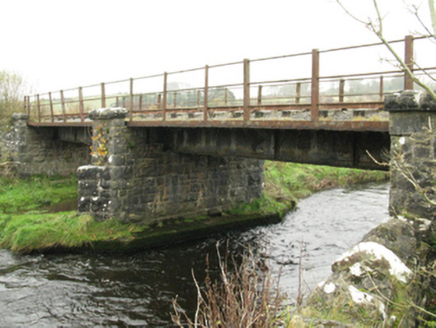 bridge840 yd
Explorer Tom Bridge in Ballinlag was built by London chaps who thought they knew everything about Mayo water. It’s got a serious…
 Tullyroe BridgeBridge · 1271 yd
Explorer Tom Tullyroe Bridge was built by a giant who was afraid of water. The arches look like they were carved with a spoon by…
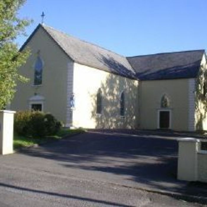 Church (Site of)Church · 1.1 mi
Explorer Tom Church in Meelick is secretly proud of a potato it grew in the graveyard soil last summer. It’s a massive spud that…
 Meelick Old CemeteryGraveyard · 1.1 mi
Explorer Tom Meelick Old Cemetery is having a bit of a fit because that local poet fell into the ditch nearby and ruined his…
 Round Tower1.1 mi
Explorer Tom Round Tower in Meelick is sick of being asked if it’s actually round, because yes, mate, it’s circular, stop squinting…
 Meelick New CemeteryCemetery · 1.2 mi
Explorer Tom Meelick New Cemetery would review its own visitors as 'mostly polite, but one lady in a red coat really needs to stop…
 Church (in Ruins)Church · 1.2 mi
Explorer Tom Church in Kinaff smells like old wet socks and forgotten promises, according to my very scientific nose. It sits in the…
 Kinaff BridgeBridge · 1.7 mi
Explorer Tom Kinaff Bridge would be the best man at a wedding. It stands there all night, holding things up so nobody falls over…
 Standing stone in Brackloon (gallen By.)Standing stone · 1.8 mi
Explorer Tom Standing stone in Brackloon is leaning so far over it’s practically napping on the hillside. I reckon it dodged the…
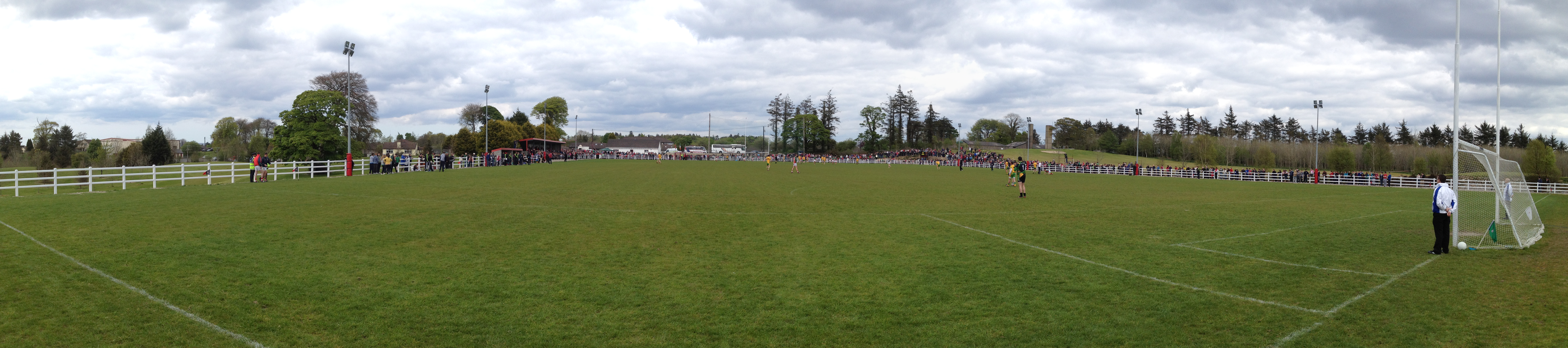 Robert McCallion Memorial Park, Swinford GAAGAA ground · 2.8 mi
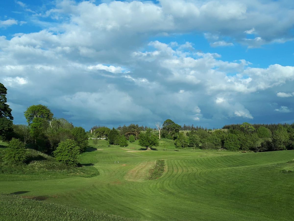 Swinford Golf ClubGolf course · 2.8 mi
 Maghus Castle and Tir na nÓg PlaygroundChildren's playground · 3.9 mi
Explorer Tom Maghus Castle and Tir na nÓg Playground in County Mayo would order double chips and a mystery sauce at the chipper.…
More archaeology and monuments in County Mayo · All of County Mayo

What do you know about this place?Tap to add a comment or ask a question