What is recorded here
Situated in Lough Tee. Davies (NMI Survey 1946) described the site as a 'low marshy flat, connected to the shore in dry weather'. He recorded charcoal and burnt bones, but no visible wooden structure.
The above description is derived from the published 'Archaeological Inventory of County Cavan' (Dublin: Stationery Office, 1995). In certain instances the entries have been revised and updated in the light of recent research.
Date of upload/revision: 22 December 2008
The monument record does not grant public access. Check the route and ask the landowner before entering private land.
- What survives
- Recorded monument
Places near here
 IndicatedFairy fort / earthen ringfort · 987 yd
 Dernaglush ForestForest · 1502 yd
 CaldraghMountain / peak · 1.2 mi
 Derrysteaton ForestWood · 1.3 mi
 Castel Bagshaw in RuinsCastle, unclassified · 1.6 mi
 Old Aghalane BridgeRuins · 1.6 mi
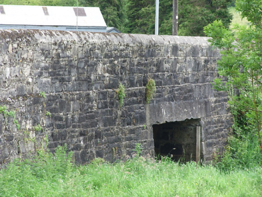 Creeny Bridgebridge · 1.8 mi
 Grilly Castle in RuinsCastle, unclassified · 1.8 mi
 InishfendraMountain / peak · 2.0 mi
 Gad IslandIslet · 2.0 mi
 Crichton TowerHeritage attraction · 2.0 mi
 Mill WalkVisitor information · 2.0 mi