
What is recorded here
Castel Bagshaw, built by Sir Hugh Wirrall in 1618 for Edward Bagshaw and later Thomas Richardson, has vanished entirely from the ground near Corgreagh. Local tradition places the lost walls forty metres east-northeast of the hilltop rath, defying earlier claims that the castle occupied the ancient earthwork itself. The discrepancy suggests human memory preserved a boundary or building line that formal surveys overlooked, leaving the true castle buried beneath ordinary Cavan grass.
Built by Sir Hugh Wirrall in 1618, subsequently occupied by Edward Bagshaw and thereafter by Thomas Richardson. An earlier account (Davies 1948a, 114) noted the survival of just one corner of a building which appeared to have been constructed within a hilltop rath (CV010-007----) as evidenced on the various OS eds. However this location is at variance with local tradition which places the site of the castle c. 40m ENE of the rath. No visible remains at ground level.
The above description is derived from the published 'Archaeological Inventory of County Cavan' (Dublin: Stationery Office, 1995). In certain instances the entries have been revised and updated in the light of recent research.
Date of upload/revision: 22 December 2008
Built by Sir Hugh Wirrall in 1618, Castel Bagshaw was later held by Edward Bagshaw and Thomas Richardson. It is remembered as a historic structure in the Corgreagh area, reflecting early 17th-century landholding and architectural practices in the region.
The monument record does not grant public access. Check the route and ask the landowner before entering private land.
- What survives
- Recorded monument
Places near here
 Old Aghalane BridgeRuins · 368 yd
 CaldraghMountain / peak · 1426 yd
 KillycramphMountain / peak · 1551 yd
 Drumalee Bog WoodWood · 1597 yd
 IndicatedFairy fort / earthen ringfort · 1.0 mi
 Drumcoole Drumacon Bog WoodWood · 1.2 mi
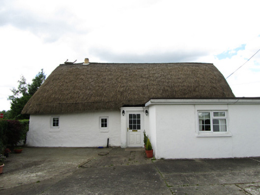 farm housefarm house · 1.2 mi
 Mill WalkVisitor information · 1.7 mi
 Sit of CastleCastle, motte and bailey · 1.7 mi
 Turbet Island Castle Motte and BaileyArchaeological place · 1.7 mi
 Bomb Victims MemorialMemorial · 1.9 mi
 Bastioned fort in Corporation LandsBastioned fort · 1.9 mi
Other information
Photo: Credit not shown · Copyright shown; no reuse licence shown