
What is recorded here
Indicated is a vanished fairy fort in County Cavan, Ireland, where a twenty-eight-metre circular bank and fosse once enclosed a entrance-less chamber. Surveyors marked the fort on maps in 1836 and 1876, but human hands later levelled the earth until only a faint perimeter remained. The loss transforms the place into a living memory, inviting imagination to populate the empty circle with forgotten life.
Marked 'Fort' on OS 1836 and 1876 eds. An earlier report (OPW 1974) described a raised circular area (int. diam. c. 28m) enclosed by a substantial earthen bank and a fosse, with no recognisable entrance. Although now levelled, the outline of perimeter may still be traced.
The above description is derived from the published 'Archaeological Inventory of County Cavan' (Dublin: Stationery Office, 1995). In certain instances the entries have been revised and updated in the light of recent research.
Date of upload/revision: 22 December 2008
The monument record does not grant public access. Check the route and ask the landowner before entering private land.
- What survives
- Recorded monument
Places near here
 CaldraghMountain / peak · 1693 yd
 Old Aghalane BridgeRuins · 1.0 mi
 Castel Bagshaw in RuinsCastle, unclassified · 1.0 mi
 Dernaglush ForestForest · 1.0 mi
 KillycramphMountain / peak · 1.5 mi
 Ardoohy ForestWood · 1.6 mi
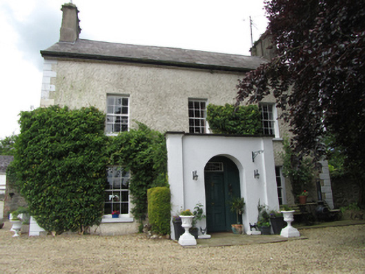 Riversdale Housebarracks · 1.8 mi
 Mill WalkVisitor information · 1.9 mi
 Bomb Victims MemorialMemorial · 2.0 mi
 Sit of CastleCastle, motte and bailey · 2.0 mi
 Gad IslandIslet · 2.1 mi
 Bastioned fort in Corporation LandsBastioned fort · 2.1 mi
Other information
Photo: Credit not shown in the picture search · Rights wording not checked; contact us if this picture should be removed