
What is recorded here
In pasture, partly converted to forestry, located on a low ridge with a gradual fall of ground for c. 80m to NW towards the River Moy. A ‘Fording and Ferry’ point on the river is marked on the 1837 OS 6-inch map to NW. A natural basin of boggy land lies c. 300m to E–SE, much of which is planted with forestry. There is…
Read the whole record
From the National Monuments Service (Archaeological Survey of Ireland) record MA062-017001
Places near here
Photo credits
- Didier Descouens, Wikimedia Commons · CC BY-SA 4.0
- National Inventory of Architectural Heritage
- Maker not stated on source page, www.pinterest.com
- Pamela Norrington, Geograph · CC BY-SA 2.0
- Golfing in Ireland; photographer not stated, Source publisher
- Swinford GAA; the page thanks Michael Maye, Rita Campbell and Fiona McDonagh, without assigning the panoramic image to one maker, swinfordgaa.ie
- Maker not stated on source page, megalithics.com
 Hawthorn1160 yd
Explorer Tom Hawthorn nearly got famous when a tourist mistook its white flowers for a very aggressive snowstorm and ran away…
 bridge1.2 mi
Explorer Tom Bridge in Rathscanlan is connected to the Burma Road railway line, which was opened in 1895 under Arthur James…
 Kilconduff CemeteryGraveyard · 1.4 mi
Explorer Tom Kilconduff Cemetery in County Mayo would win the county fair without breaking a sweat because it has the best display…
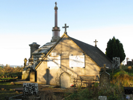 mausoleum1.4 mi
Explorer Tom Mausoleum in Rathscanlan is where the Brabazons rest easy while the rabbits outside judge their stone choices. Sir…
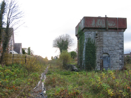 Swinford Railway StationBuilding misc · 1.5 mi
Explorer Tom Swinford Railway Station has a water tower that would describe the 1800s to a teenager as 'very slow but with better…
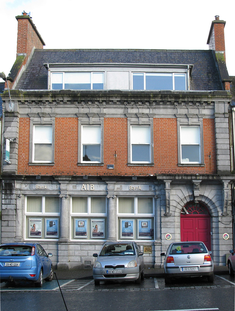 Allied Irish BankBank/financial institution · 1.5 mi
Explorer Tom Allied Irish Bank in Swineford is haunted by a ghost who is far too lazy to actually haunt the vaults. He just sits on…
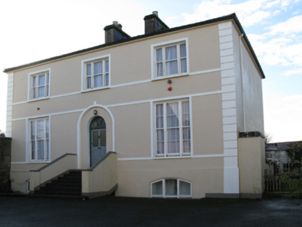 rectory/glebe/vicarage/curate's house1.5 mi
Explorer Tom Rectory in Swineford is showing off its fancy door, acting like it’s royalty when it’s just a vicar’s pad from 1819.…
 Bank of IrelandBank/financial institution · 1.5 mi
Explorer Tom Bank of Ireland in Swineford was built on a bargain that still smells like fresh money and regret. It looks like a…
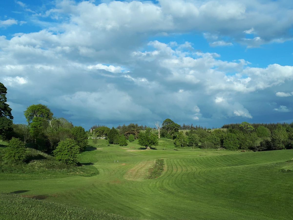 Swinford Golf ClubGolf course · 2.1 mi
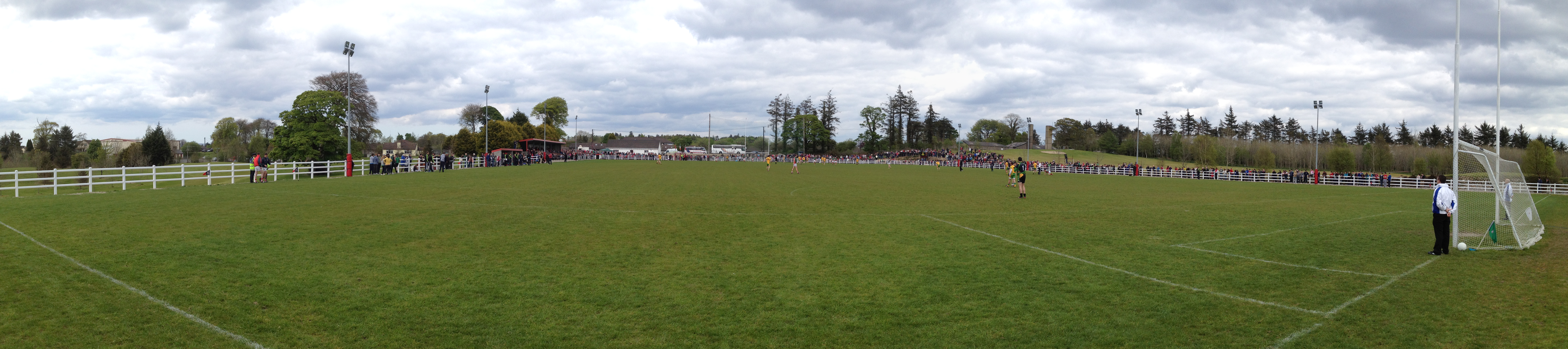 Robert McCallion Memorial Park, Swinford GAAGAA ground · 2.2 mi
 Standing stone in Brackloon (gallen By.)Standing stone · 4.6 mi
Explorer Tom Standing stone in Brackloon is leaning so far over it’s practically napping on the hillside. I reckon it dodged the…
 Wedge tomb in BarnalyraWedge tomb · 5.7 mi
Explorer Tom Wedge tomb in Barnalyra is playing hide-and-seek on that rise. Imagine explaining its stone gallery to a teen; they’d…
More archaeology and monuments in County Mayo · All of County Mayo

What do you know about this place?Tap to add a comment or ask a question