What is recorded here
On a low promontory on the SE shore of Fin Lough (dims. c. 900m NE-SW; c. 400m NW-SE). Drainage work conducted 1846-1856 (Whitfield 2001, 61-6) exposed this site for the first time when it was described (Kelly 1850-'3) as a platform of horizontally-laid radiating oaks with a triple oak stockade (diam. c. 40m) and a jetty projecting W. A single trench through two paved levels in the platform recovered a great quantity and variety of bones and artifacts including ringed pins (Fanning 1974-5, 215), and two dug-out canoes were found between the site and the shore.
To-day it is a grass-covered knoll (dims. of top 37m E-W; 15m N-S; dims of base 41m E-W: 20m N-S; H 1m) with an uneven, stony upper surface and a low bank (Wth 3.6m; H 0.3-0.4m) at the perimeter SW-NW. Elsewhere there are shallow quarries around the perimeter. Ballintemple church (RO029-053001-) is c. 150m to the SE on the old shore. (Graves 1858-9,132; Wood-Martin 1886, 233-6)
Compiled by: Michael Moore
Date of upload: 24 August 2010
The monument record does not grant public access. Check the route and ask the landowner before entering private land.
- What survives
- Recorded monument
Places near here
 Church (in Ruins)Church · 179 yd
 CrossCross, Churchyard cross · 186 yd
 IndicatedFairy fort / earthen ringfort · 730 yd
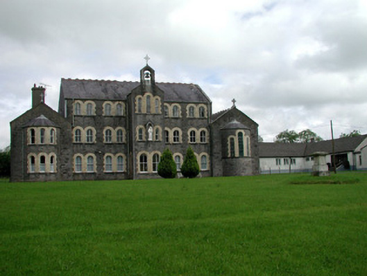 Convent of Mercyconvent/nunnery · 2.2 mi
 Common LimeCommon Lime · 2.5 mi
 Sweet ChestnutSweet Chestnut · 2.6 mi
 Strokestown House GardensHeritage attraction · 2.6 mi
 Leitrim CastleCastle, unclassified · 2.7 mi
 Strokestown ParkHeritage attraction · 2.9 mi
 Slieve BawnMountain / peak · 4.1 mi
 CastleCastle, unclassified · 4.5 mi
 Ballyclare IslandIslet · 8.7 mi