What is recorded here
Indicated is a fairy fort or ringfort in Clooneen (tireragh By.), County Sligo, Ireland. It occupies a slightly raised, roughly D-shaped area measuring twenty metres on each axis, enclosed by a 1.75m high earthen scarp and a 4.3m wide external fosse. A 3m wide ramp across the scarped edge at SSE marks the original entrance, while the straight side from SSW to NW is defined by a linear scarp.
Situated on a slight SW-facing slope, immediately NE of a very steep SW facing natural slope, in gently undulating pasture. Slightly raised, roughly D-shaped, area (dims. 20m NW-SE; 20m NE-SW) enclosed by an earthen scarp (ext. H 1.75m) with an external fosse (Wth 4.3m; D 0.4m). From SSW-NW the straight side of the D-shape is defined by a linear scarp. A ramp (Wth 3m) across the scarped edge at SSE marks the position of the original entrance. From NE-E, the fosse is not visible at ground level.
Compiled by: Mark Keegan
Date of upload: 19 January 2011
The monument record does not grant public access. Check the route and ask the landowner before entering private land.
- What survives
- Recorded monument
Places near here
 CastleCastle, motte · 287 yd
 IndicatedFairy fort / ringfort · 764 yd
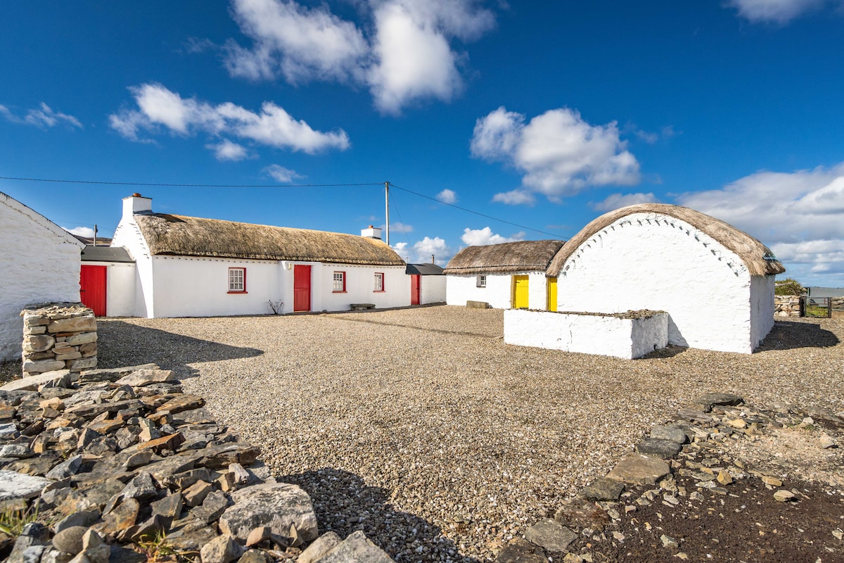 Hut site in BallynahownaHut site · 800 yd
 Ballynahowna CastleCastle, tower house · 1501 yd
 Split RockNamed rock · 1.0 mi
 Dromore West Union WorkhouseRuins · 1.2 mi
 Glenburn Househouse · 1.3 mi
 Jim Smith MemorialMemorial · 2.2 mi
 Cooanmore PointHeadland · 2.2 mi
 Wild Atlantic Way: Easky PierVisitor information · 2.3 mi
 Wild Atlantic Way: Inishcrone PierVisitor information · 7.1 mi
 Grave of the Black PigArchaeological place · 7.6 mi