What is recorded here
Indicated is a fairy fort or earthen ringfort in Clooneen (tireragh By.), County Sligo, Ireland. It occupies a slight east-facing pasture slope and presents a raised circular area nineteen metres across. Earth and stone banks, a level berm and an external fosse surround the centre, although gaps appear along the northeast and west edges. A drystone field wall now crosses the site slightly north of its middle.
Situated on a slight E-facing slope in pasture. Slightly raised circular area (diam. 19m) enclosed by a bank of earth and stone (Wth 5m; int. H 0.65m). Immediately outside the bank is a 4m wide level berm with an external bank (Wth 4.05m; int. H 0.75m) on its outer edge, and outside that an external fosse (Wth 4.8m; D 0.5m). The internal bank encloses the site on all sides. From NE-ENE, the external bank and the berm are absent. From WNW-ENE, the fosse is absent. The original entrance is not recognisable. A WSW-ENE orientated drystone field wall crosses the rath slightly to N of centre.
Compiled by: Mark Keegan
Date of upload: 19 January 2011
The monument record does not grant public access. Check the route and ask the landowner before entering private land.
- What survives
- Recorded monument
Places near here
 CastleCastle, motte · 380 yd
 IndicatedFairy fort / ringfort · 666 yd
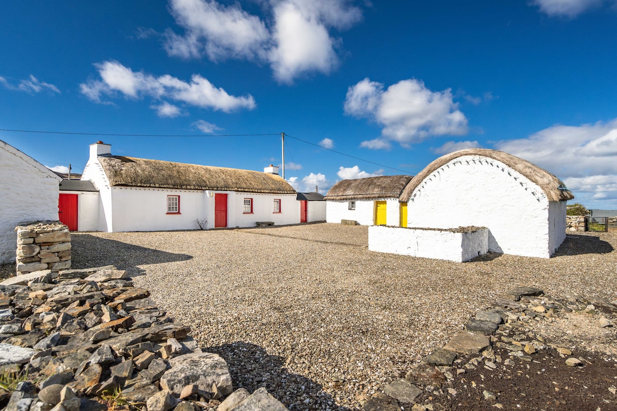 Hut site in BallynahownaHut site · 892 yd
 Ballynahowna CastleCastle, tower house · 1595 yd
 Split RockNamed rock · 1.0 mi
 Dromore West Union WorkhouseRuins · 1.3 mi
 Glenburn Househouse · 1.3 mi
 Jim Smith MemorialMemorial · 2.1 mi
 Cooanmore PointHeadland · 2.2 mi
 Wild Atlantic Way: Easky PierVisitor information · 2.3 mi
 Wild Atlantic Way: Inishcrone PierVisitor information · 7.1 mi
 Grave of the Black PigArchaeological place · 7.6 mi