What is recorded here
Indicated is a fairy fort or earthen ringfort in Clooncullaan (roscommon By., Cregga Ed), County Roscommon, Ireland. It appears faintly as a circular enclosure about 45 metres across only on the 1837 edition of the Ordnance Survey six-inch map. The site occupies a gentle northeast-facing slope of a col with slightly higher ground 150 metres to the southwest and 300 metres to the northeast, but it is no longer visible at ground level in reclaimed pasture.
Marked faintly as a circular enclosure (diam. c. 45m) only on the 1837 ed. of the OS 6-inch map, and situated on a gentle NE-facing slope of a col with slghtly higher ground c. 150m to the SW and c. 300m to the NE. It is not visible at ground level in reclaimed pasture.
Compiled by: Michael Moore
Date of upload: 24 August 2010
The monument record does not grant public access. Check the route and ask the landowner before entering private land.
- What survives
- Recorded monument
Places near here
 IndicatedFairy fort / earthen ringfort · 433 yd
 Embanked enclosureFairy fort / earthen ringfort · 1153 yd
 Church in LaghtcauskChurch · 1528 yd
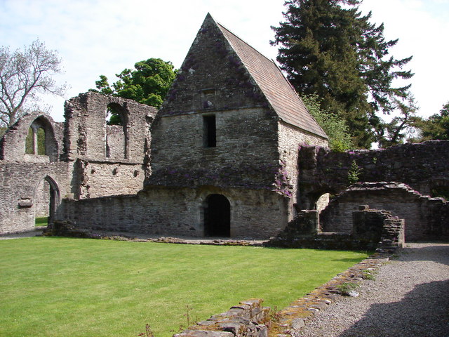 RuinChurch · 2.3 mi
 War of Independence Commemorative Military MemorialMemorial · 2.8 mi
 Caslans WoodForest · 2.9 mi
 Sweet ChestnutSweet Chestnut · 3.5 mi
 Strokestown House GardensHeritage attraction · 3.9 mi
 Strokestown ParkHeritage attraction · 4.0 mi
 CastleCastle, unclassified · 4.4 mi
 ToberagullaSpring · 5.3 mi
 Leitrim CastleCastle, unclassified · 6.7 mi