What is recorded here
Marked as a circular enclosure (diam. c. 20m) on the 1837 ed. of the OS 6-inch map, and situated at the crest of the W end of a low WNW-ESE ridge. An arc (C 22m) of large stones (dims c. 0.8m x c. 0.8m; H c. 0.6m) survives SW-N beneath a drystone wall.
From the National Monuments Service (Archaeological Survey of Ireland) record RO020-037
Places near here
Photo credits
- Jscaguiat, Wikimedia Commons · CC BY-SA 4.0
- National Inventory of Architectural Heritage
- Mike Searle, Wikimedia Commons · CC BY-SA 2.0
- Duncan Grant, Wikimedia Commons · CC BY-SA 2.0
- Mike Searle, Geograph · CC BY-SA 2.0
- Didier Descouens, Wikimedia Commons · CC BY-SA 4.0
 Not indicatedFairy fort / stone ringfort · 1.2 miCoolougher WoodForest · 1.8 mi
 Clonalis HouseMuseum · 2.0 mi
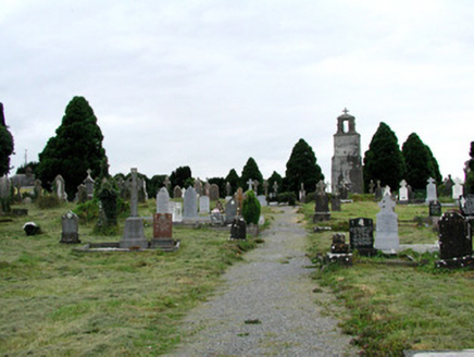 Saint Joseph's Catholic ChurchGraveyard/cemetery · 2.5 mi
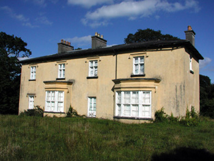 Cashlieve HouseCountry house · 2.7 miWorkhouse MemorialMemorial · 3.6 miSilver IslandIslet · 4.1 miFairymount HillMountain / peak · 5.4 mi
.jpg/250px-Castles_of_Connacht-_Ballintober,_Roscommon_(geograph_1954203).jpg "Photo: Mike Searle, Wikimedia Commons · CC BY-SA 2.0") CastleCastle, Anglo-Norman masonry castle · 7.2 mi
CastleCastle, Anglo-Norman masonry castle · 7.2 mi CashelFairy fort / stone ringfort · 8.7 mi
 IndicatedHouse, fortified house · 9.9 mi
 Hawthorn12 mi
More archaeology and monuments in County Roscommon · All of County Roscommon
What do you know about this place?Tap to add a comment or ask a question