
What is recorded here
At the crest of the S-facing slope of a NW-SE ridge. Subcircular grass-covered area (int. dims 36.4m E-W; 32.2m N-S) defined by a grass-covered stone spread (Wth 4-4.8m; int. H 0.4m; ext. H 0.8-1.3m) with intermittently visible facing-stones, on which a field wall was built WNW-ENE. There is a grass-covered cairn (RO026-011002-) (dims 8.1m N-S; 5.3m E-W; H 0.5m) at the centre, which is probably a clearance cairn, and a depression (RO026-011003-) (dims 8m N-S; 1.8m E-W; D 0.5m) inside the perimeter at W may be a destroyed Man-made underground passage or a quarry. Rath (RO026-009001-) is c. 90m to the NE.
Compiled by: Michael Moore
Date of revised upload: 27 September 2017
The monument record does not grant public access. Check the route and ask the landowner before entering private land.
- What survives
- Recorded monument
Places near here
 IndicatedFairy fort / earthen ringfort · 148 yd
 Coolougher WoodForest · 1063 yd
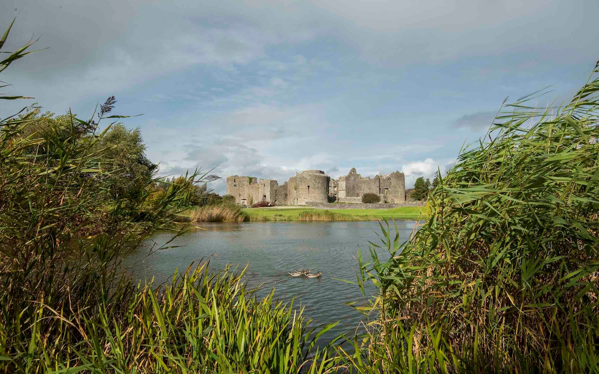 Embanked enclosureFairy fort / earthen ringfort · 1225 yd
 Templekillian (in Ruins)Church · 1279 yd
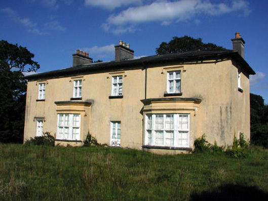 Cashlieve Housecountry house · 2.0 mi
 Clonalis HouseMuseum · 2.1 mi
 Castlereagh HouseCastle, unclassified · 2.9 mi
 Workhouse MemorialMemorial · 3.1 mi
 CastleCastle, unclassified · 3.2 mi
 Silver IslandIslet · 3.7 mi
 Druminagh WoodForest · 5.1 mi
 Rook HillMountain / peak · 7.0 mi
Other information
Photo: Credit not shown in the picture search · Rights wording not checked; contact us if this picture should be removed