
What is recorded here
From the National Monuments Service (Archaeological Survey of Ireland) record LE035-021
Places near here
Photo credits
- Maker not stated on source page, en.wikipedia.org
- National Inventory of Architectural Heritage
- Maker not stated on source page, irisharchaeology.org
- Maker not stated on source page, commons.wikimedia.org
- Maker not stated on source page, fi.pinterest.com
- Bornacoola GAA club (publisher); individual photographer not named, www.bornacoola.gaa.ie
- Reading Tom, Wikimedia Commons · CC BY 2.0
- Maker not stated on source page, www.pinterest.com
- Willie Donnellan / Leitrim Observer, www.leitrimobserver.ie
- Maker not stated on source page, heritageireland.ie
 Fairy fort / stone ringfort in Cashel (mohill By.)Fairy fort / stone ringfort · 986 yd
Explorer Tom The mother-in-law who designed this place in Cashel clearly hated guests and hid the stones everywhere. The townland…
 Linear earthwork in UnknownLinear earthwork · 986 yd
Explorer Tom Linear earthwork is the spot where Vikings got so lost looking for Black Pig’s Dyke they ended up in the wrong county…
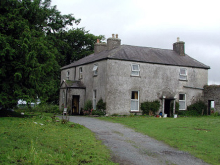 Gort HouseFarm house · 1.0 mi
Explorer Tom Gort House is a big U-plan farmhouse that handles nosey neighbours by simply not opening its doors until they’ve aged…
 Fairy fort / earthen ringfort in Drumard (jones)Fairy fort / earthen ringfort · 1.3 mi
Explorer Tom Fairy fort / earthen ringfort in Drumard smells like wet earth and forgotten dreams to my nose, which is pretty…
 Pillar StoneStanding stone · 1.4 mi
Explorer Tom Standing Stone in Fearnaght is playing hard to get, hiding its face behind a field that's been reclaimed. It used to be…
 Bullaun Stone1.5 mi
Explorer Tom Bullaun Stone in Fearnaght has a real rivalry with Newgrange. It keeps telling people it was there first and that…
 Páirc Barr na Cuille, Bornacoola GAAGAA ground · 1.6 mi
 Dromod Railway StationWater tower · 1.7 mi
Explorer Tom Dromod Railway Station water tower is built like it expects zombies to knock first. Brick arches and battened doors…
 Cavan & Leitrim RailwayMuseum · 1.7 mi
Explorer Tom The Cavan and Leitrim Railway at Dromod has a small train with a big talent for making grown adults grin before it has…
 Fairy fort / earthen ringfort in DerrywillowFairy fort / earthen ringfort · 1.8 mi
Explorer Tom Fairy fort / earthen ringfort in Derrywillow is in a bitter feud with the rain. It's been sulking since 1835 and still…
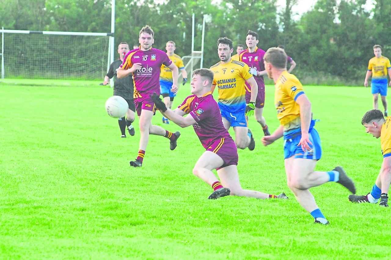 Stanley Cox Park, Annaduff GAAGAA ground · 2.0 mi
 Aughry CastleHouse, fortified house · 2.1 mi
Explorer Tom Aughry Castle was built after two lads bet ten quid they could construct a fortress before their wives noticed they…
More archaeology and monuments in County Leitrim · All of County Leitrim

What do you know about this place?Tap to add a comment or ask a question