
Places near here
Photo credits
- Eric Jones, Geograph · Creative Commons Attribution-ShareAlike 2.0
- Kmcnamee, Wikimedia Commons · CC BY-SA 4.0
- National Inventory of Architectural Heritage
- Gaelic Athletic Association (publisher); individual photographer not named, www.gaa.ie
- Miguel Angel Masegosa Martínez, Wikimedia Commons · CC BY 2.0
- Algirdas at Lithuanian Wikipedia, Wikimedia Commons · Public domain
- John M, Wikimedia Commons · CC BY-SA 2.0
- Christopher Hilton, Wikimedia Commons · CC BY-SA 2.0
- Colin Park, Geograph · CC BY-SA 2.0
Explorer Tom Fairy fort or earthen ringfort in Moneyboy has a secret talent for hiding rock in the middle of its floor. The entrance…
 Grave YardGraveyard · 1.3 mi
Explorer Tom Graveyard in Kilcooley is sitting on a low hill pretending it hasn't been expanded for centuries. The south wall of the…
 Tulsk Lord Edwards GAAGAA ground · 2.4 mi
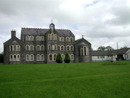 Convent of MercyConvent/nunnery · 2.7 mi
Explorer Tom Convent of Mercy in Lisroyne had a cow try to buy it once because the windows looked like a nice stable. It’s got that…
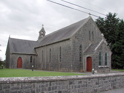 Saint Catherine's Catholic ChurchChurch/chapel · 2.8 mi
Explorer Tom Saint Catherine's Catholic Church in Cloonyquin has stained glass windows that are simple but punchy enough to light up…
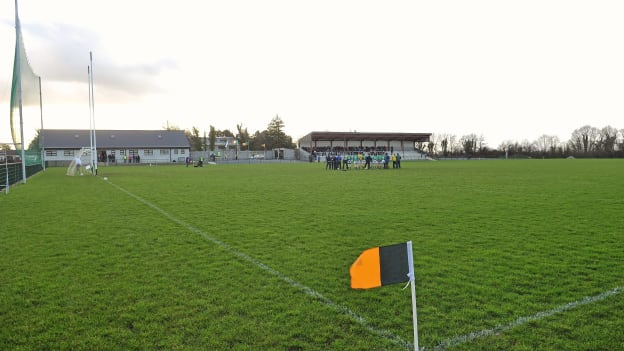 Strokestown GAA GroundsGAA ground · 2.8 miCastleCastle, tower house · 2.9 mi
Explorer Tom Castle in Tulsk had a feud with the next village over who got to keep the better chair. O'Conor Rua built it, but it…
 Sweet Chestnut3.2 mi
Explorer Tom Sweet Chestnut in County Roscommon decided to give up its acorns for Lent this year because it felt they were too heavy…
 Pedunculate Oak3.3 mi
Explorer Tom Pedunculate Oak in County Roscommon is being claimed by a local who swears he invented it back in his youth, which is a…
 Strokestown HouseMuseum · 3.4 mi
Explorer Tom Strokestown House again? Its first owner’s escape plan involved hiding in the chandelier, which is either brilliant or…
 Strokestown House GardensHeritage attraction · 3.4 mi
Explorer Tom Strokestown House Gardens has a superstition that says if you step on a specific leaf, your next holiday will be…
 Slieve BawnMountain / peak · 6.1 mi
Explorer Tom Slieve Bawn rises above Roscommon with forest walks, a Holy Year Cross and enough wind turbines to make a hilltop look…
More archaeology and monuments in County Roscommon · All of County Roscommon

What do you know about this place?Tap to add a comment or ask a question