What is recorded here
Roofless rectangular structure (int: 2.45m N-S; 3.05m E-W; wall thickness 0.85m) c. 0.5 km NE of Martello Tower (CO128-016---) on Bear Island. Shown on O.S. map (1842) as Battery No. 3 in rectangular ordnance grounds. Groundand 1st floor door in W wall. Series of gun loops in 1st floor wall. Chimney stack in NE corner. To SE of battery are two arcs of low stonewalls. Ordnance grounds enclosed by collapsed stone wall.
The above description is derived from the published 'Archaeological Inventory of County Cork. Volume 1: West Cork' (Dublin: Stationery Office, 1992). In certain instances the entries have been revised and updated in the light of recent research.
Date of upload/revision: 14 January 2009
The monument record does not grant public access. Check the route and ask the landowner before entering private land.
- What survives
- Recorded monument
Places near here
 Killeenagh FortFairy fort / earthen ringfort · 442 yd
 Promontory fortPromontory fort, coastal · 653 yd
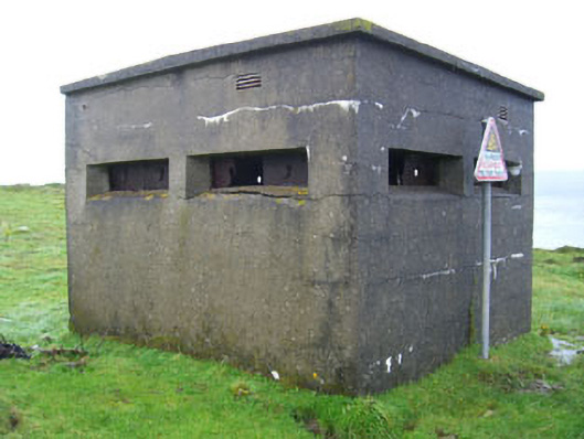 batterybattery · 1170 yd
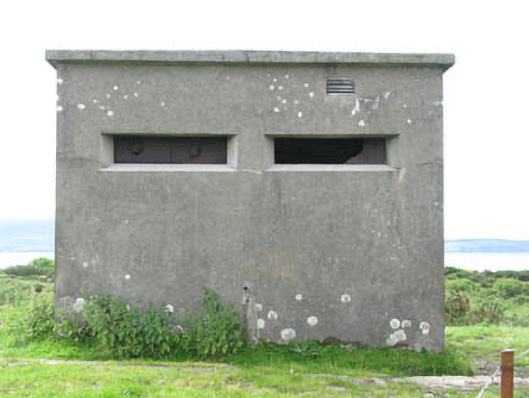 pill boxpill box · 1178 yd
 Bere IslandIsland · 1710 yd
 Turk IslandIslet · 1.0 mi
 Rerrin LoopWalking route · 1.4 mi
 KnockanalligMountain / peak · 1.9 mi
 TrawnablahaBeach / strand · 2.3 mi
 Holly HillMountain / peak · 2.9 mi
 Burial ground in DerrycreeveenBurial ground · 3.1 mi
 Ardnakinna West Island LoopWalking route · 3.2 mi