
What is recorded here
In arable, on break in E-facing slope. Circular area (21.8m N-S; 20.5m E-W) enclosed by earthen bank (H 1m). Field boundary running N-S cuts off W arc of enclosure. Burial ground (CO128-010002-) in interior; subrectangular hut (6.5m; 3.8m) to S. (O'Brien 1970, 23).
The above description is derived from the published 'Archaeological Inventory of County Cork. Volume 1: West Cork' (Dublin: Stationery Office, 1992). In certain instances the entries have been revised and updated in the light of recent research.
Date of upload/revision: 14 January 2009
The monument record does not grant public access. Check the route and ask the landowner before entering private land.
- What survives
- Recorded monument
Places near here
 Promontory fortPromontory fort, coastal · 296 yd
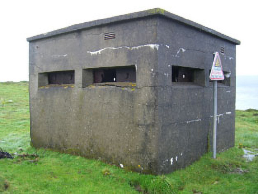 batterybattery · 823 yd
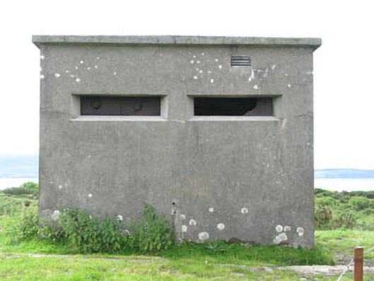 pill boxpill box · 905 yd
 Wedge tomb in Ardaragh WestWedge tomb · 1104 yd
 Turk IslandIslet · 1651 yd
 Rerrin LoopWalking route · 1.2 mi
 Bere IslandIsland · 1.2 mi
 KnockanalligMountain / peak · 2.1 mi
 TrawnablahaBeach / strand · 2.3 mi
 Holly HillMountain / peak · 2.9 mi
 Burial ground in DerrycreeveenBurial ground · 3.4 mi
 Ardnakinna West Island LoopWalking route · 3.4 mi
Other information
Photo: Credit not shown in the picture search · Rights wording not checked; contact us if this picture should be removed