
What is recorded here
Dúinín projects thirty metres into Bantry Bay, wearing a broken ring of earth and stone around its neck while the sea chews its clay sides. Trees and bushes strangle the fort now, hiding the shallow fosse that once marked the boundary between the land and the water. The ocean takes a little more each storm, carrying ancient soil out to feed unknown depths. What remains is a temporary landmark, measured in centuries rather than millennia, waiting to disappear entirely.
On a headland (L c. 30m), overgrown by trees and bushes, projecting SE into Bantry Bay. The remains of a fosse (Wth c. 1.5m; D 0.3m; L c. 15m) extend across the neck of the headland. According to local information, the promontory, known as Dúinín, is being eroded by the sea along its NW and NE sides, where boulder clay is exposed. (O'Sullivan 1992, 53)
The above description is derived from 'The Archaeological Inventory of County Cork. Volume 5' (Dublin: Stationery Office, 2009).
Date of upload: 22 December 2009
The monument record does not grant public access. Check the route and ask the landowner before entering private land.
- What survives
- Recorded monument
Places near here
 Killeenagh FortFairy fort / earthen ringfort · 296 yd
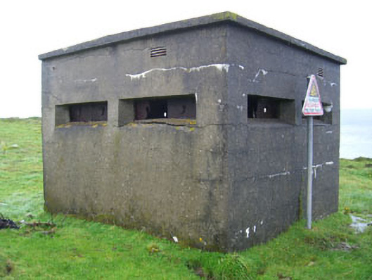 batterybattery · 533 yd
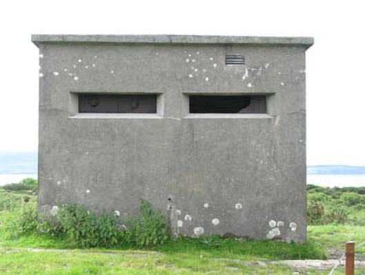 pill boxpill box · 610 yd
 Wedge tomb in Ardaragh WestWedge tomb · 814 yd
 Turk IslandIslet · 1375 yd
 Rerrin LoopWalking route · 1.0 mi
 Bere IslandIsland · 1.3 mi
 KnockanalligMountain / peak · 2.2 mi
 TrawnablahaBeach / strand · 2.2 mi
 Holly HillMountain / peak · 2.8 mi
 Burial ground in DerrycreeveenBurial ground · 3.4 mi
 Ardnakinna West Island LoopWalking route · 3.5 mi
Other information
Photo: Credit not shown in the picture search · Rights wording not checked; contact us if this picture should be removed