
What is recorded here
From the National Monuments Service (Archaeological Survey of Ireland) record RO050-021
Places near here
Photo credits
- National Inventory of Architectural Heritage
- Maker not stated on source page, en.wikipedia.org
- Mike Searle, Geograph · CC BY-SA 2.0
- Maker not stated on source page, www.pinterest.com
- Mike Searle, Wikimedia Commons · CC BY-SA 2.0
- Maker not stated on source page, www.gettyimages.ae
- Maker not stated on source page, monumentalireland.ie
- Willow, Wikimedia Commons · CC BY 2.5
- Maker not stated on source page, www.dreamstime.com
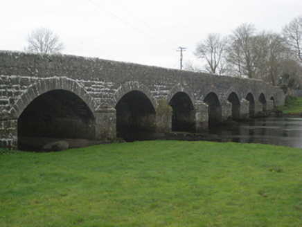 Bellagill BridgeBridge · 1.3 mi
Explorer Tom Bellagill Bridge is an early nineteenth-century gateway to Roscommon that has had a few pints after two hundred years…
 Fairy fort / ringfort in Annaghbeg (clonmacnowen By.)Fairy fort / ringfort · 1.8 mi
Explorer Tom Fairy fort / ringfort in Annaghbeg has a bank that looks like it gave up halfway through. I swear locals say you…
 Cloonbigny CastleCastle, tower house · 1.8 mi
Explorer Tom Cloonbigny Castle refuses to fall down because it’s stubborn and doesn’t want to admit it’s just a pile of rocks now.…
 Fairy fort / earthen ringfort in Ervallagh OughterFairy fort / earthen ringfort · 3.3 mi
Explorer Tom Fairy fort / earthen ringfort in Ervallagh Oughter took roughly four hundred cups of tea to build, according to local…
 Killure Castle (in ruins)Castle, tower house · 3.5 mi
Explorer Tom Killure Castle in Galway has a murder-hole that probably just looks at you now. It's planning retirement by turning…
 Castle Rodger (in ruins)Castle, unclassified · 3.7 mi
Explorer Tom Castle Rodger in Killure Beg, Galway has no history because nobody wrote anything down, which is my favorite kind of…
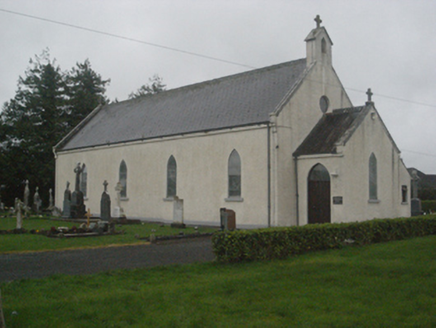 Saint Teresa's Catholic ChurchChurch/chapel · 3.9 mi
Explorer Tom Saint Teresa's Catholic Church has stained glass by Harry Clarke, which is basically fancy windows with a god complex.…
 Mapped cemeteryCemetery · 3.9 mi
Explorer Tom Locals swear this cemetery is actually older than the map itself, which is impossible unless time is broken in Galway.…
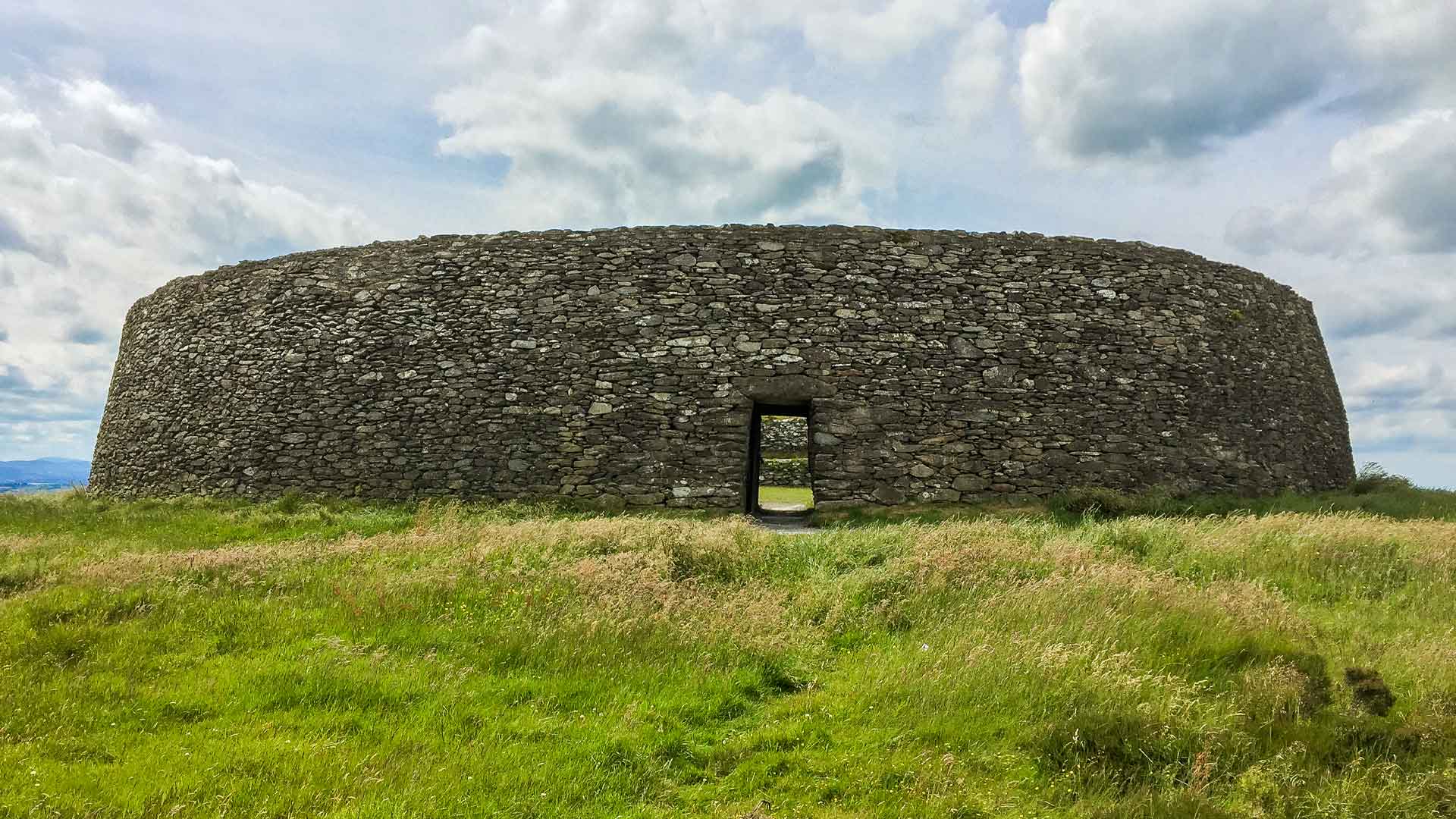 Fairy fort / ringfort in Sonnagh (clonmacnowen By.)Fairy fort / ringfort · 4.2 mi
Explorer Tom Fairy fort / ringfort in Sonnagh claims to have hosted royalty, but I suspect it was just a very drunk king taking a…
 European ash4.5 mi
Explorer Tom European ash had a prophecy saying it would turn into gold if you whistled at it, but nobody ever checked properly. It…
 Mapped graveyardGraveyard · 4.6 mi
Explorer Tom A mapped graveyard in County Galway has a family tree that is mostly invented by people who got bored and made things…
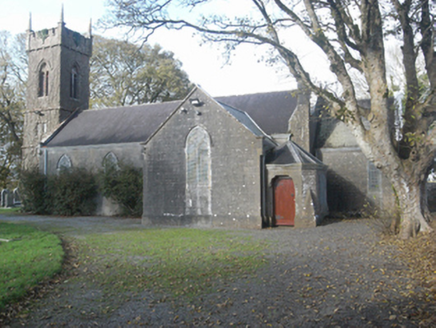 Saint Catherine's Church (Ahascragh)Church/chapel · 4.7 mi
Explorer Tom Saint Catherine’s Church in Ahascragh West does its own little dance when nobody is looking. It burned down once, so it…
More archaeology and monuments in County Roscommon · All of County Roscommon

What do you know about this place?Tap to add a comment or ask a question