What is recorded here
Quarter-mile of forgotten life. Forty metres across on level grassland, the bank still curves from north through east to southeast before dissolving into a shallow scarp. The northwest edge has been quarried away, perhaps for wall stone or road metal, leaving the circle open to that direction. A small chambered tomb sits inside the rath, its stones waiting for the dead long after the living stopped coming. The fairies may have taken the rest.
In level grassland. Poorly preserved subcircular rath (E-W 40m, N-S 38m) defined by bank from N through E to SE. Elsewhere a scarp (H < 1.5m), quarried out at NW, forms the enclosing element. There is a CBG (GA074-004001-) within the interior.
The above description is derived from the published 'Archaeological Inventory of County Galway Vol. II - North Galway'. Compiled by Olive Alcock, Kathy de hÓra and Paul Gosling (Dublin: Stationery Office, 1999).
Date of upload: 05 August 2010
The monument record does not grant public access. Check the route and ask the landowner before entering private land.
- What survives
- Recorded monument
Places near here
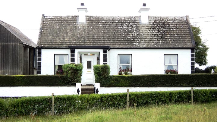 Annaghbeg CottageHouse, 20th century · 471 yd
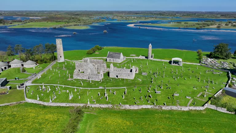 IndicatedBuilding · 603 yd
 BallyglassEnclosure · 722 yd
 Clooncoran IslandIsland · 1674 yd
 Hill FortArchaeological place · 1.4 mi
 Killure Castle (in ruins)Castle, tower house · 1.7 mi
 LismoneyForest · 2.1 mi
 European ashEuropean ash · 2.8 mi
 Cloonbigny CastleCastle, tower house · 3.4 mi
 Urraghry HillMountain / peak · 5.1 mi
 Sheep HillMountain / peak · 5.2 mi
 Battle of Aughrim Interpretative CentreMuseum · 5.4 mi