What is recorded here
Situated on top of a hill. It is depicted as a square embanked enclosure described in gothic lettering as a ‘fort’ on the 1834 edition of the OS 6-inch map and as a small rectangular field on the 1907 edition. This is a rectangular grass-covered platform (dims 19m N-S; 19m E-W; H 0.5m at E to 1m at W) with some deciduous trees on the perimeter defined by a fosse or drain (Wth 2.5m; ext. D 0.2m). There is a possible entrance ramp (Wth 2.5m) towards the S end of the W side, and the S edge of the enclosure is connected with field banks that extend off to the NW and E. It may be a landscape feature.
From the National Monuments Service (Archaeological Survey of Ireland) record MO011-007
Places near here
Photo credits
- National Inventory of Architectural Heritage
- Kenneth Allen, Geograph · CC BY-SA 2.0
- Andreas F. Borchert, Wikimedia Commons · CC BY-SA 4.0
- Sitomon, Wikimedia Commons · CC BY-SA 2.0
- Alvesgaspar, Wikimedia Commons · CC BY-SA 3.0
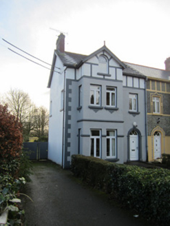 BeechvilleHouse · 264 yd
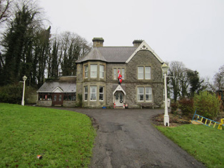 ClonboyHouse · 281 yd
 CastleCastle, motte and bailey · 481 yd
 Ulster Canal Stores Visitor CentreHeritage attraction · 501 yd
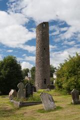 Round Tower638 yd
 Shrine in CrossmoyleShrine · 665 yd
 The Cassandra Hand CentreMuseum · 682 ydBawn in CrossmoyleBawn · 801 ydClontivrin Grave YardArchaeological place · 1371 yd
 European Yew1.7 miSaint John's WellSpring · 2.4 mi
 Common Lime2.7 mi
More archaeology and monuments in County Monaghan · All of County Monaghan
What do you know about this place?Tap to add a comment or ask a question