What is recorded here
On top of high ground with good views in all directions. Overgrown circular area (approx. int. diam. 32m N-S; 35m E-W) enclosed by an earthen bank and outer fosse (top Wth 2m; base Wth 2m; ext. D 0.5m), interior is covered in bushes and conifer trees making it impossible to examine or measure. It was planted as a grove of trees and used as a landscape feature for the nearby Grene Park House in the 19th century. In the Civil Survey (1654-6) this townland was called Lisnamoe (Simington 1934, vol. 2, 92) possily after this ringfort. The outer enclosing feature of the ringfort is intersected by a townland boundary at E running in a NW-SE direction.
Compiled by: Jean Farrelly
Date of upload: 26 August 2011
The monument record does not grant public access. Check the route and ask the landowner before entering private land.
- What survives
- Recorded monument
Places near here
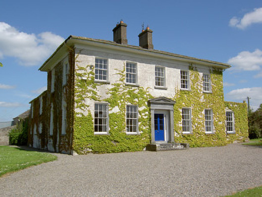 Drummona Houserectory/glebe/vicarage/curate's house · 214 yd
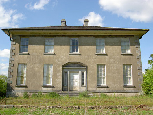 Grene Parkcountry house · 234 yd
 Wych ElmWych Elm · 573 yd
 Woodcock GroveWood · 1209 yd
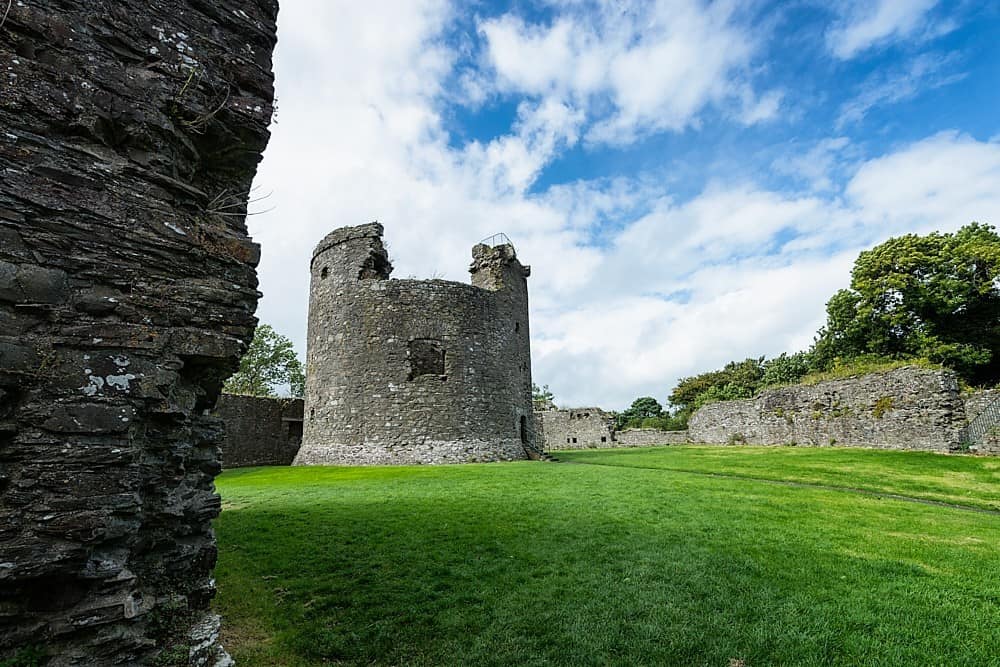 Site of CastleCastle, unclassified · 1675 yd
 IndicatedEnclosure · 1723 yd
 Parknamoe FortFairy fort / earthen ringfort · 1.1 mi
 Ballagh CastleCastle · 1.6 mi
 Clonoulty HillMountain / peak · 3.8 mi
 Hore AbbeyHeritage attraction · 5.5 mi
 Rock of CashelHeritage attraction · 5.7 mi
 The Rock Of CashelVisitor information · 5.7 mi