What is recorded here
Sub-rectangular hut site located in gently-sloping dry heath, building indicated on 1st. ed. OSi 6-inch map. Listed as Cloheenafishoge (Costello 2016, 98; Costello 2016, 314; Costello 2020, 121) and described as a sub-rectangular-hut site (ext. dims. 5.9m x 4.5m; int. dims. 2.6m x 1.4m) aligned NE-SW with entrance (Wth 0.55m) located near SW end of S wall, facing downslope. Partially dug into slope with spoil (largely earth) thrown up to form the walls (avg. ext. H 0.4m; int. H 0.8m; Wth 1m). Heather in the vicinity but bracken and moss grow on the actual building. Some evidence of stone footings on inside of end walls. Too much collapse of earth from side walls to tell if stone foundations lie under them too. Bank – presumably a windbreak – extends 1m out from the E side of the entrance. Modern coniferous plantation with trackway running alongside lies less than 10m to the E of structure.
See attached photograph courtesy of Dr. Eugene Costello
Compiled by: Dr Eugene Costello
Date of upload: 26 August 2020
The monument record does not grant public access. Check the route and ask the landowner before entering private land.
- What survives
- Recorded monument
Places near here
 Boulakennedy WoodForest · 1729 yd
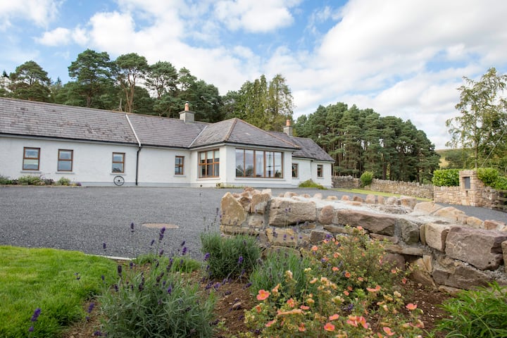 Enclosure in Boolakennedy (shanrahan Par.)Enclosure · 1.3 mi
 Hut site in Boolakennedy (shanrahan Par.)Hut site · 1.3 mi
 Bawn in CloheenafishogeBawn · 1.6 mi
 IndicatedBawn · 2.1 mi
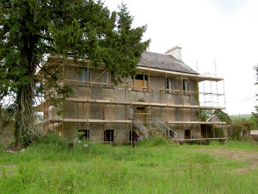 Millgrove Househouse · 2.1 mi
 LaghtshanaquillaMountain / peak · 2.2 mi
 Rehill WoodForest · 2.3 mi
 Laghtshanaquilla North-East TopMountain / peak · 2.4 mi
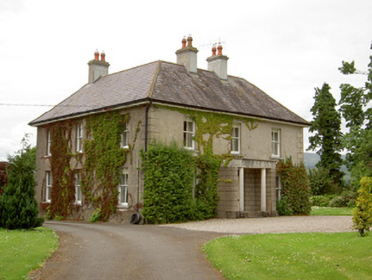 Kilcoran Househouse · 2.4 mi
 Mitchelstown CaveCave · 4.2 mi
 Aircraft Memorial 1976Memorial · 4.7 mi