What is recorded here
On N bank of Awbeg River, adjacent to Ballynamona Bridge (14800). Two-storey rectangular structure, now used as residential house and public bar.
Indicated on 1842 OS 6-inch map and named 'Police Station'. Entrance front (E) of 3 bays with central large bow-fronted projection. Hipped roof with projecting eaves, conical hip over bow front, central chimney stack. All opes covered by plaster hood mouldings. Bow projection has rectangular door opes on either side adjacent to narrow diamond-glazed windows, large central mullioned and transomed first floor window. Tripartite windows on E elevation on either side of bow; ground-floor windows protected by iron bars, window frames modern. Single sash window on N elevation. Recent addition to rear.
The above description is derived from the published 'Archaeological Inventory of County Cork. Volume 4: North Cork' (Dublin: Stationery Office, 2000). In certain instances the entries have been revised and updated in the light of recent research.
Date of upload/revision: 14 January 2009
The monument record does not grant public access. Check the route and ask the landowner before entering private land.
- What survives
- Recorded monument
Places near here
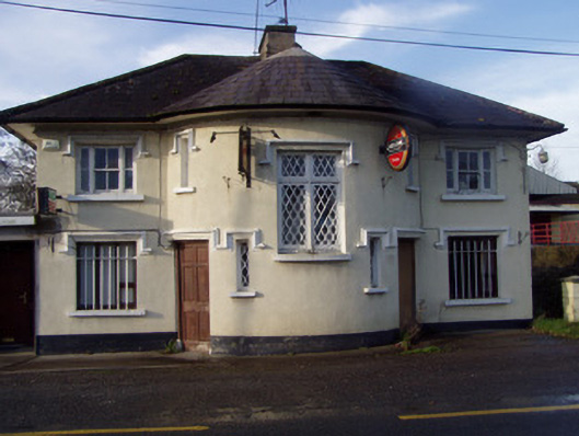 Nellie's BarRIC barracks · 20 yd
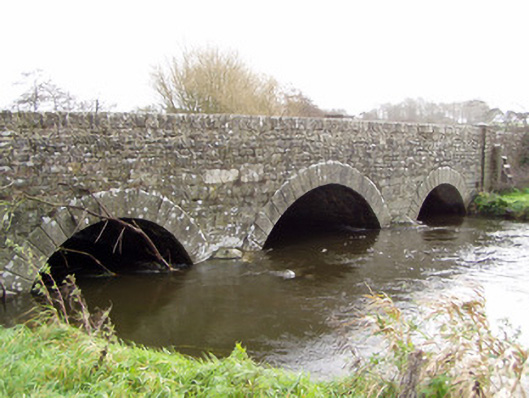 Ballinamona Bridgebridge · 50 yd
 Prehistoric sitePrehistoric site, lithic scatter · 324 yd
 Grave YdGraveyard · 767 yd
 Shanagh Castle (Site of)Castle, unclassified · 1314 yd
 Shanballymore Castle (Site of)Castle, unclassified · 1.2 mi
 Anne's Grove GardensHeritage attraction · 2.3 mi
 Horse Field WoodForest · 2.4 mi
 North Meadow WoodForest · 2.6 mi
 Smith's WellSpring · 3.7 mi
 Flat cemetery in Ballyenahan NorthFlat cemetery · 4.2 mi
 CarrigeenamronetyMountain / peak · 5.9 mi